6 days · 356 miles · 8448 feet uphill · 27+ hours on bike · 200+ m&m's consumed · 2 dead legs
Chesapeake and Ohio Canal & Great Allegheny Passage trails
Bikepacking
We have all seen cyclists out on the road and heard about multi day adventures of backpackers out in the mountains. But did you know there is subset of explorers who love both and combine them in what's known as bikepacking?
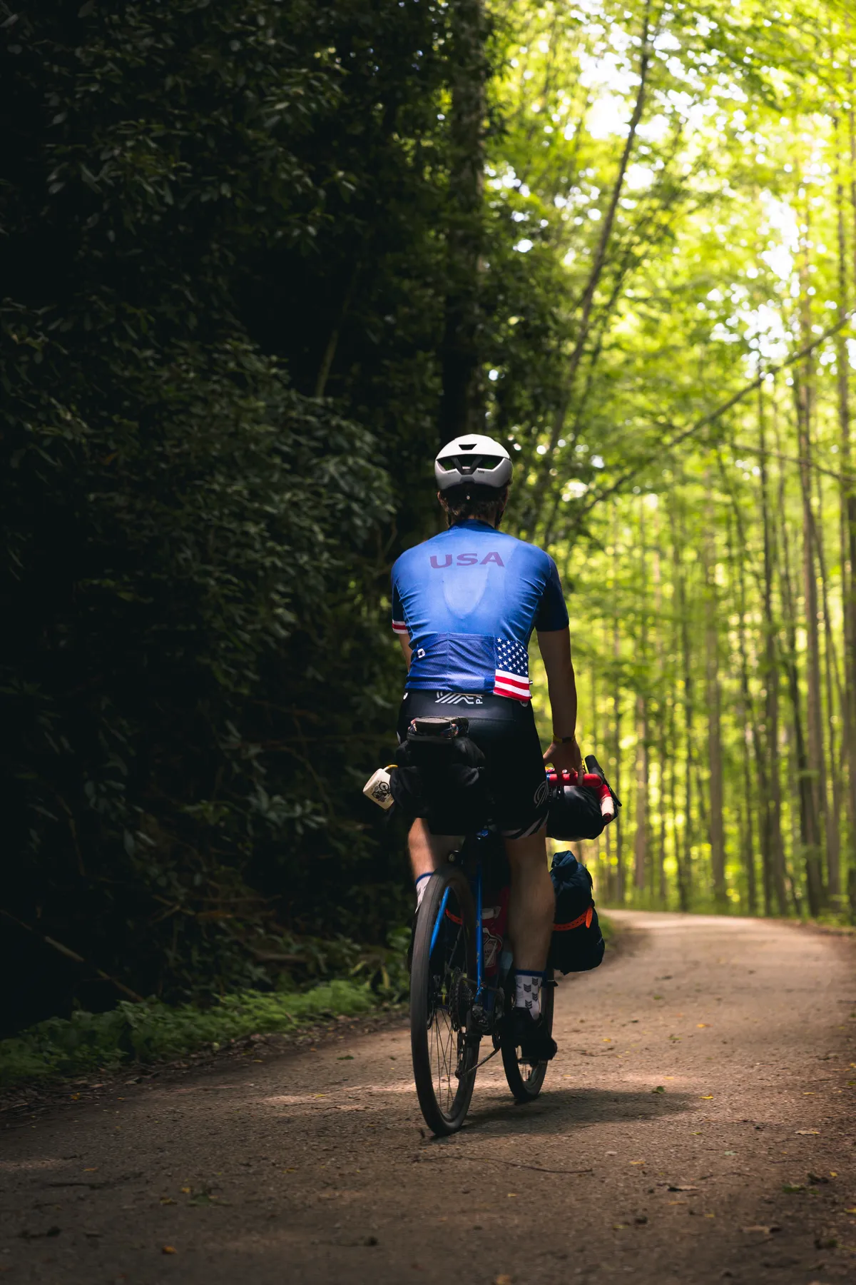
Follow along with me and a friend on two of the friendliest long distance trails (C&O and GAP) as we pedal our way from D.C. to Pittsburgh and explore the world of bikepacking.
The gear
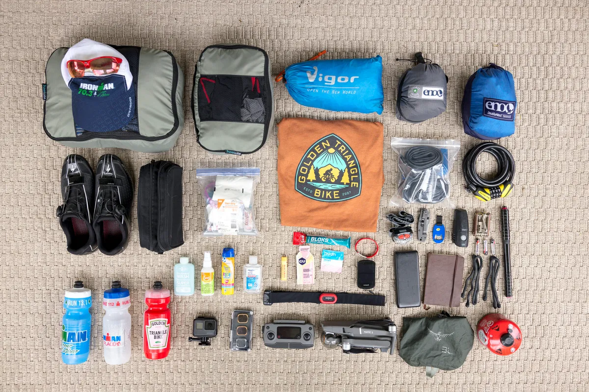
What should I bring? What will I need? These are great questions for someone just starting out bikepacking! Here is a list of the gear I brought on the trip.
Cycling Gear: Head Unit, Lock, Lights, Spare Tubes / Repair Kit, Multi Tool, HR Strap
Misc Gear: Headlamp, Knife, Extra Batteries, Tie Downs, Journal, Charger, Gas Stove, Dry Bags, First Aid Kit
Not Pictured: Sleeping Bag, Bike, Sandals, Polar Pro ND's
Camera Gear: Canon EOS R, RF 24-70 & EF 50, Mavic Pro 2, Polar Pro ND's, GoPro
The bike
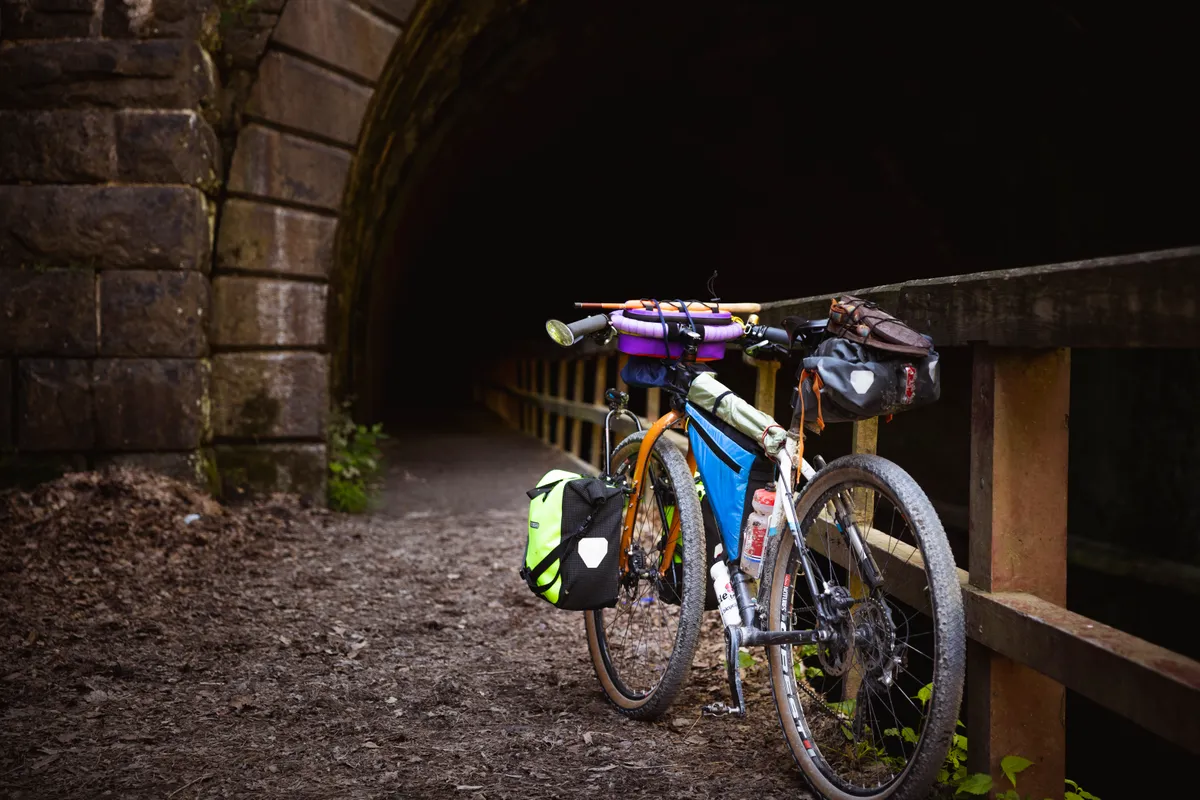
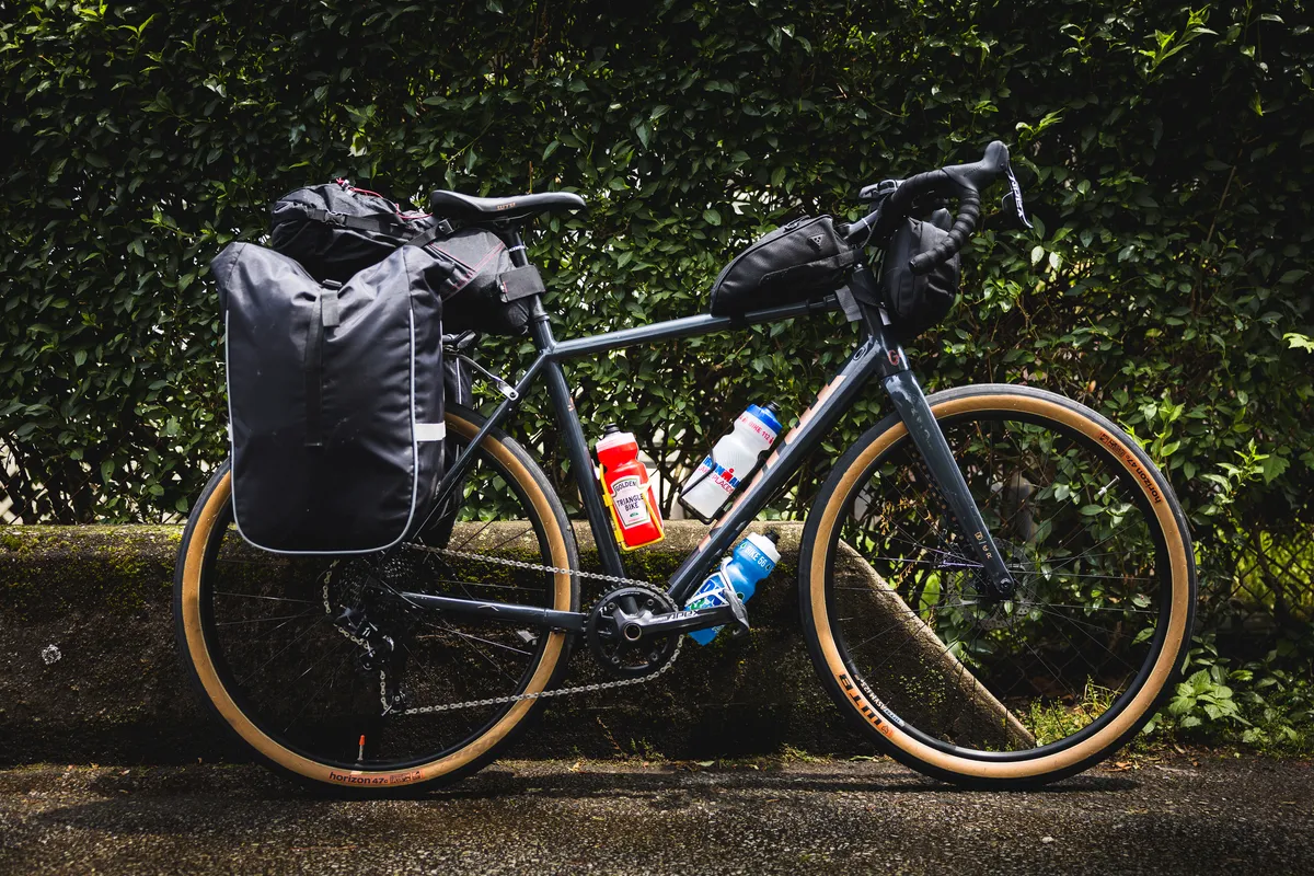
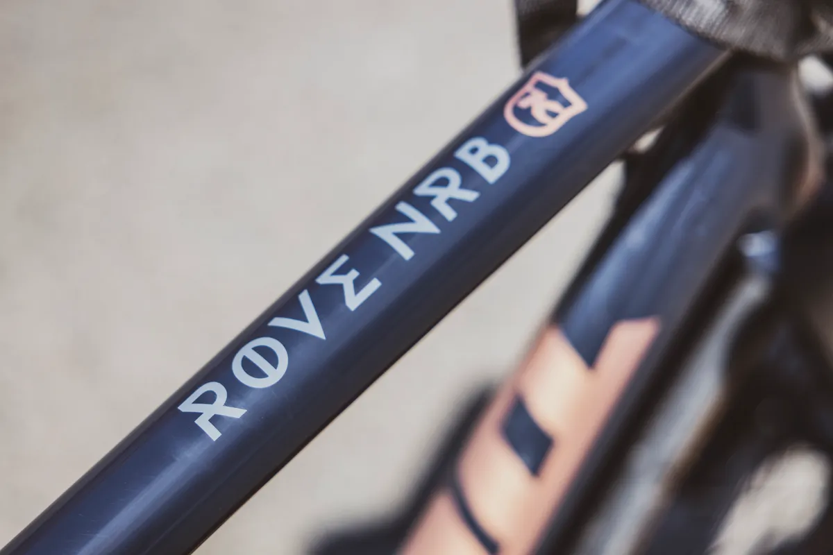
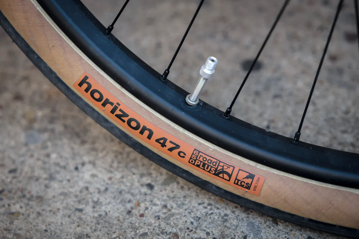
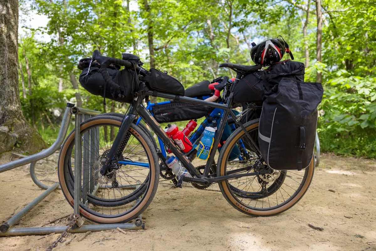
For this trip, I partnered with a local Pittsburgh bike company, Golden Triangle Bike. They have a great selection of bikes ranging from hybrid, touring, E-Bike, and more. I used one of their gravel bikes, the Kona Rove. As a first time gravel rider, this was a perfect bike transitioning from a road bike. Smooth, similar geometry, and the 650B tires were excellent for the terrain along the trail. The bike came with bags, tools, and everything you need to get going.
If you are considering the trip, I would highly recommend them for their bikes, as well as information about the trails. They will even provide guided trips!
The companion
“A journey is best measured in friends, rather than miles.”
Tim Cahill
An adventure isn't complete without friendship. For this trip, I was thankful to be able to do it with my great friend, Dan. This is a trip he has been wanting to do for years and I was glad we could do it together.
Thank you Dan for all the work you put into the planning!
“I travel because I'd rather look back at my life, saying 'I can't believe I did that' instead of 'if only I had'.”
Florine Bos
The journey begins
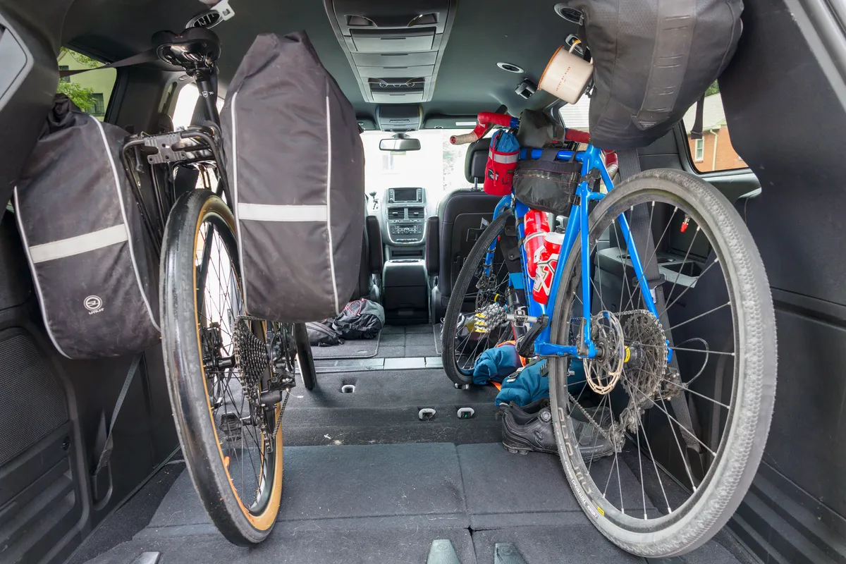
The trip started with loading up the bikes and driving to D.C. Even though considered a bit harder this direction, we wanted to end in Pittsburgh, at Dan's house, and be able to relax and not have to take a train to get home.
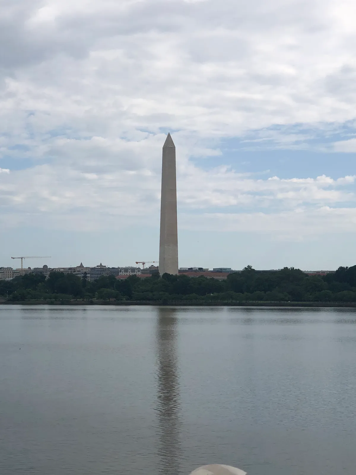
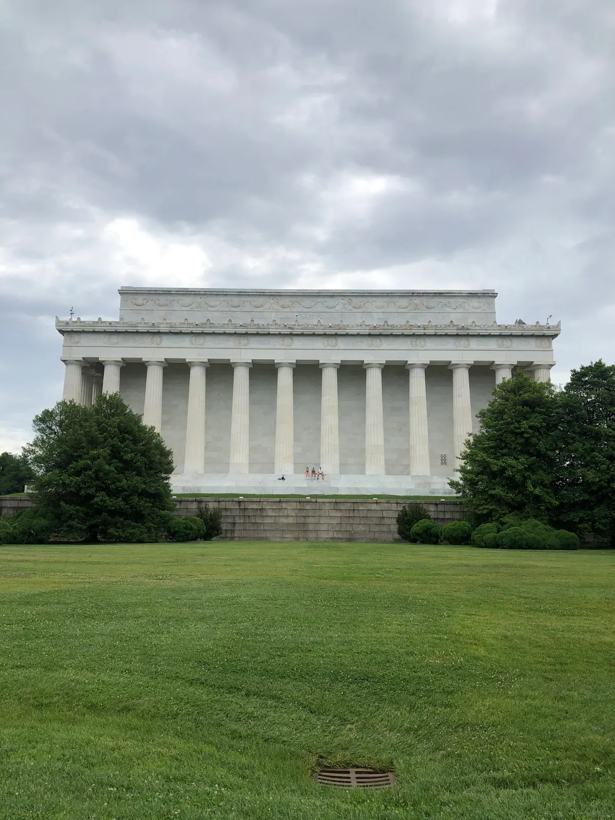
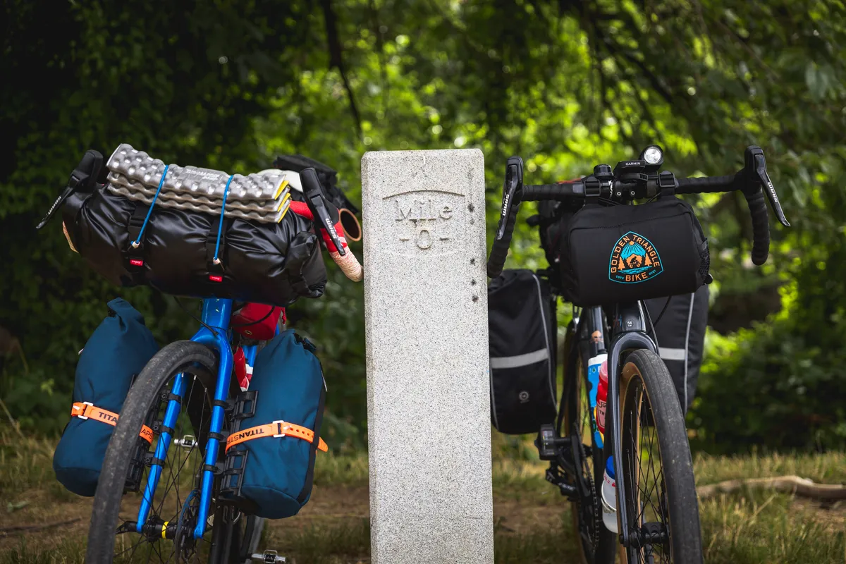
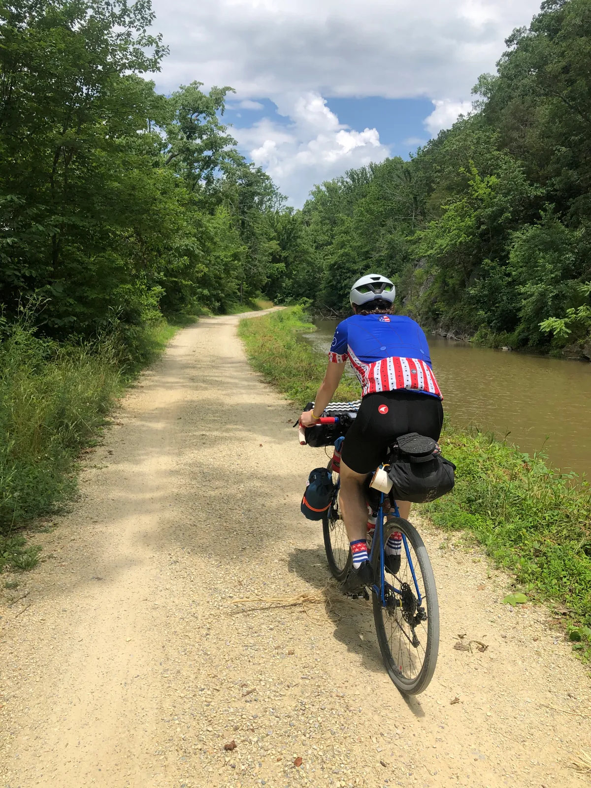
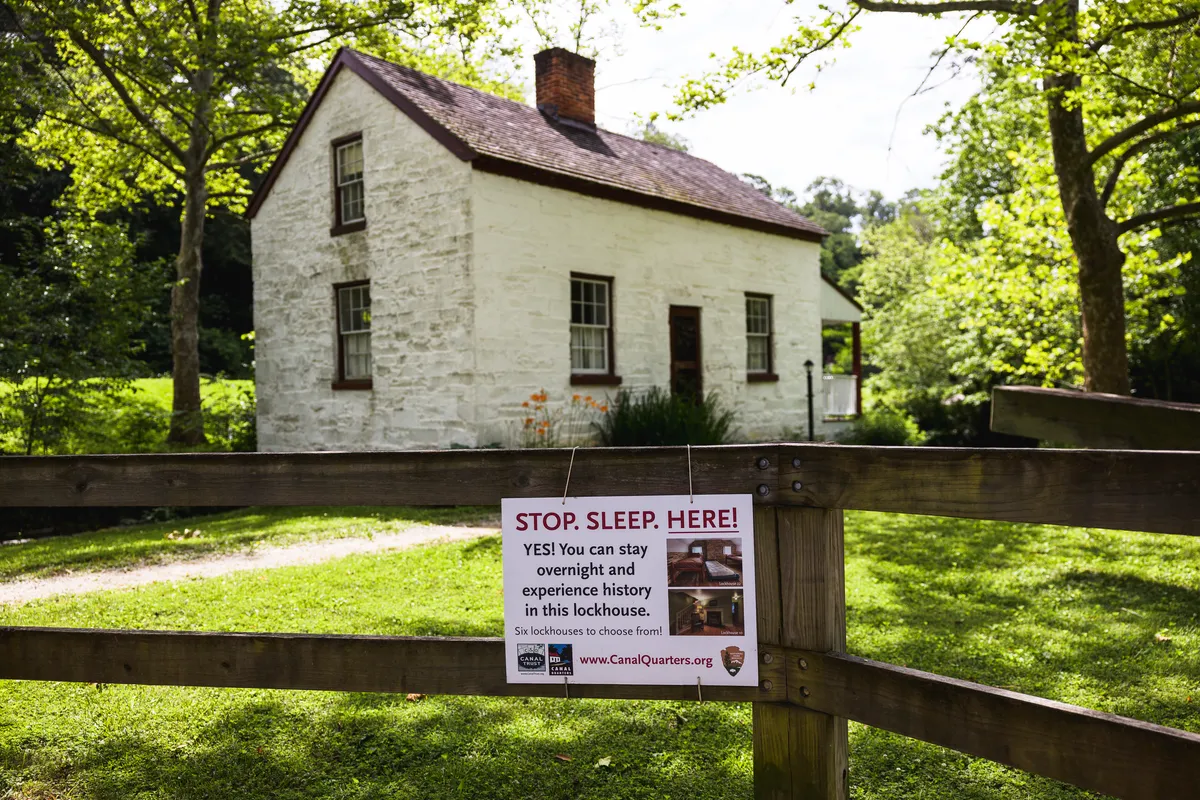
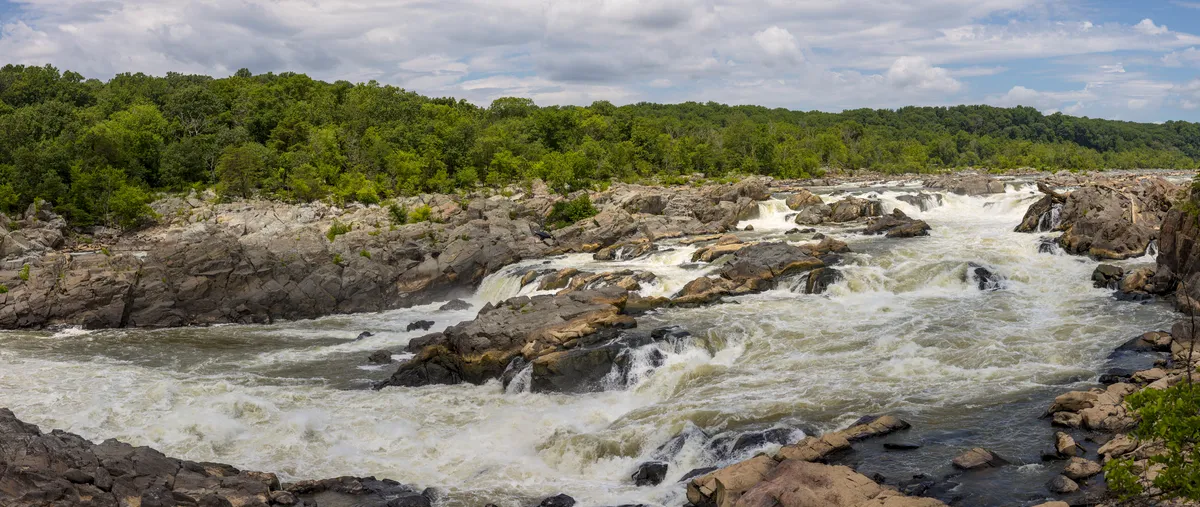
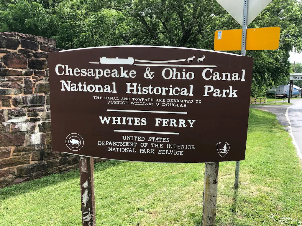
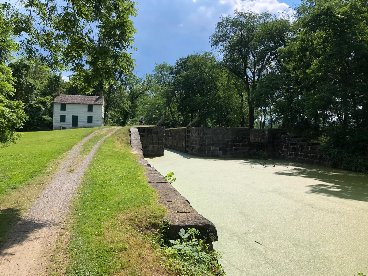
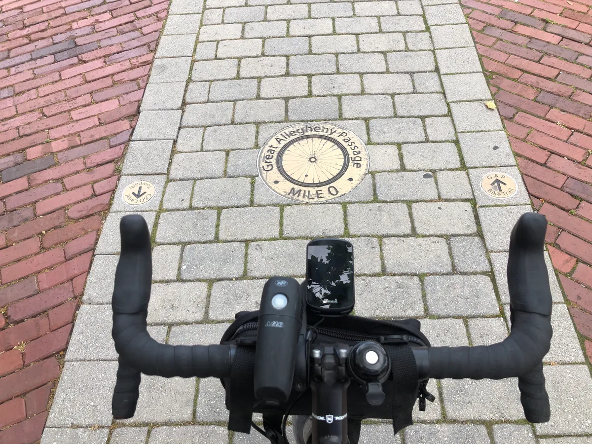
Starting in D.C. made for a scenic trip as we cycled along the Mt Vernon trail from the airport to the National Mall.Make sure to take the time to find the C&O trail head. It is a little off the beaten path (you'll feel like you are going through the Thompson Boat center), but worth the quick detour.The trail started off with well packed gravel and a scenic ride along the canal.Not far out of D.C. we came across a lockhouse where you can stay! As we planned to camp throughout our trip, I didn't know you could stay in these. For someone looking to experience the C&O trail, but doesn't want to camp or wants to reduce the amount of weight they carry, this would be a great option!The great falls are the first scenic view point along the Potomac River.
After you park your bike at the rack, I would suggest switching into some sandals for exploring the falls as it is a decent walk.
Let's take a break for water / food
When you are burning ~5,000 calories a day, it's important to keep hydrated and fueled throughout the trip. Especially in the summer heat!
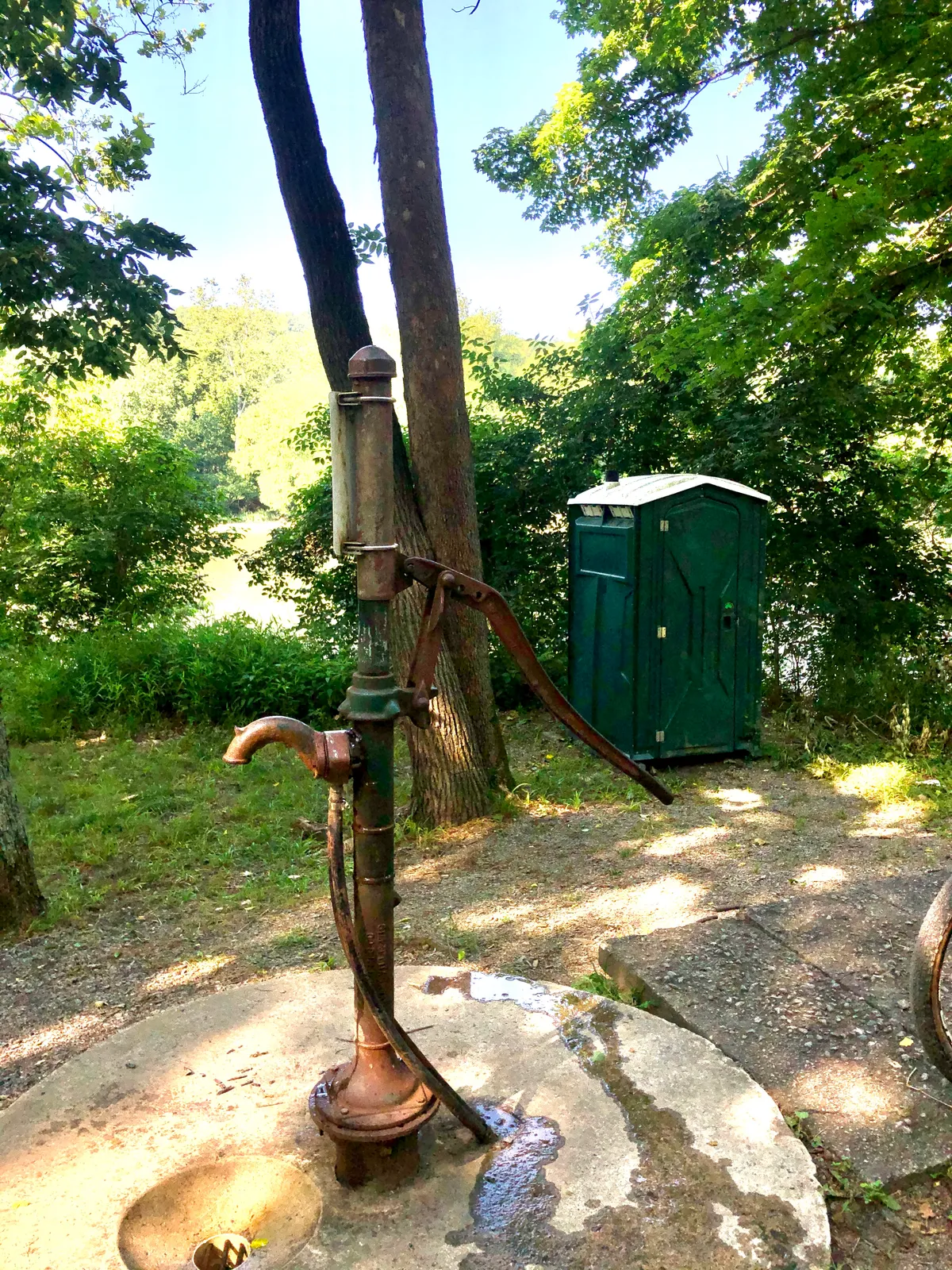
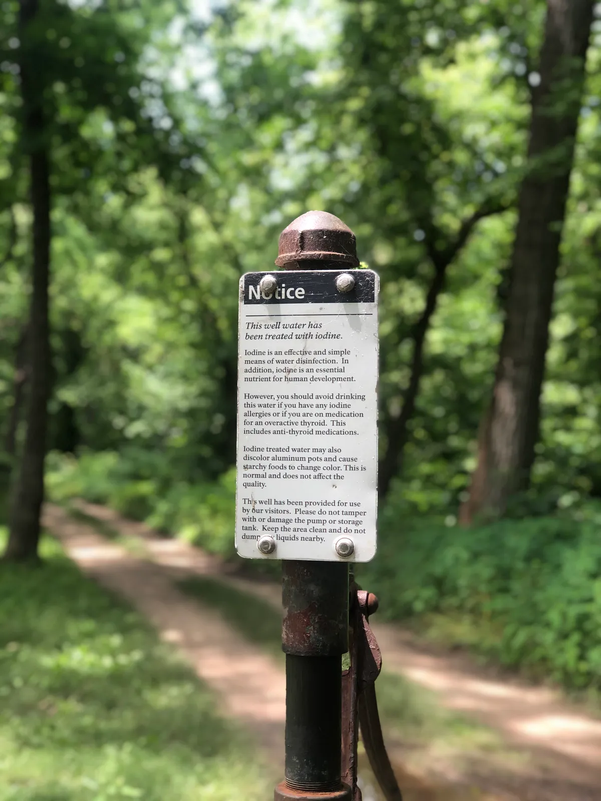
Along the C&O there were campsites roughly every 10 miles*. These sites had pumps with treated well water that we used to fill up along the way. These were amazing to have available to us. This was convenient and limited the amount of water we had to carry at any given time.
*One thing to think of, we didn't see water for the first 40 miles outside of D.C. Keep this in mind whether you are starting or ending, you will want to plan for this and have extra water.
The pumps are available seasonally and there are some other precautions due to COVID so make sure to check the following link for up to date information and general trail conditions https://www.nps.gov/choh/index.htm
Breakfast
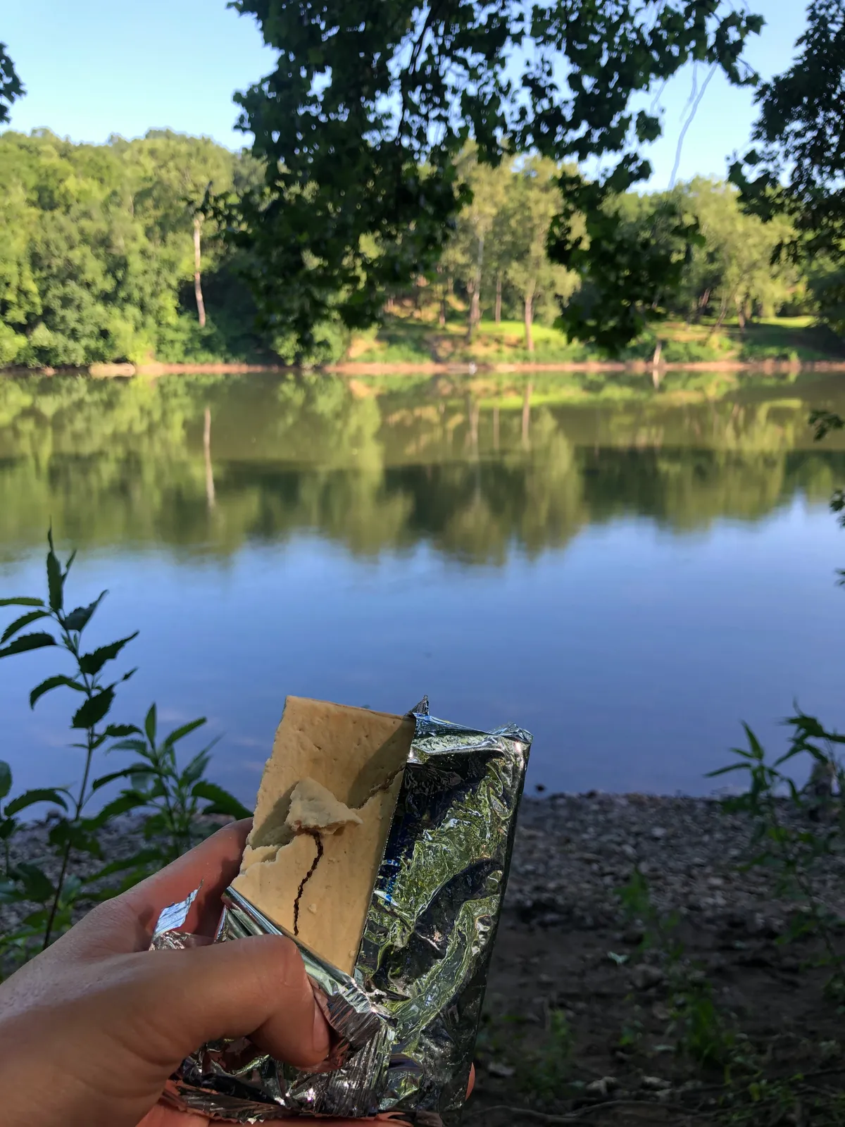
Since we were starting early in the morning and always from camp outside of town, the easiest thing for breakfast was to grab something the day before that we could eat at camp. Most mornings were Pop-Tarts with a view.
Snacks
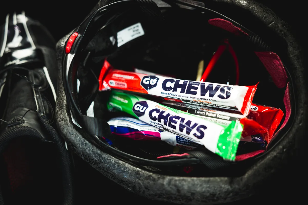
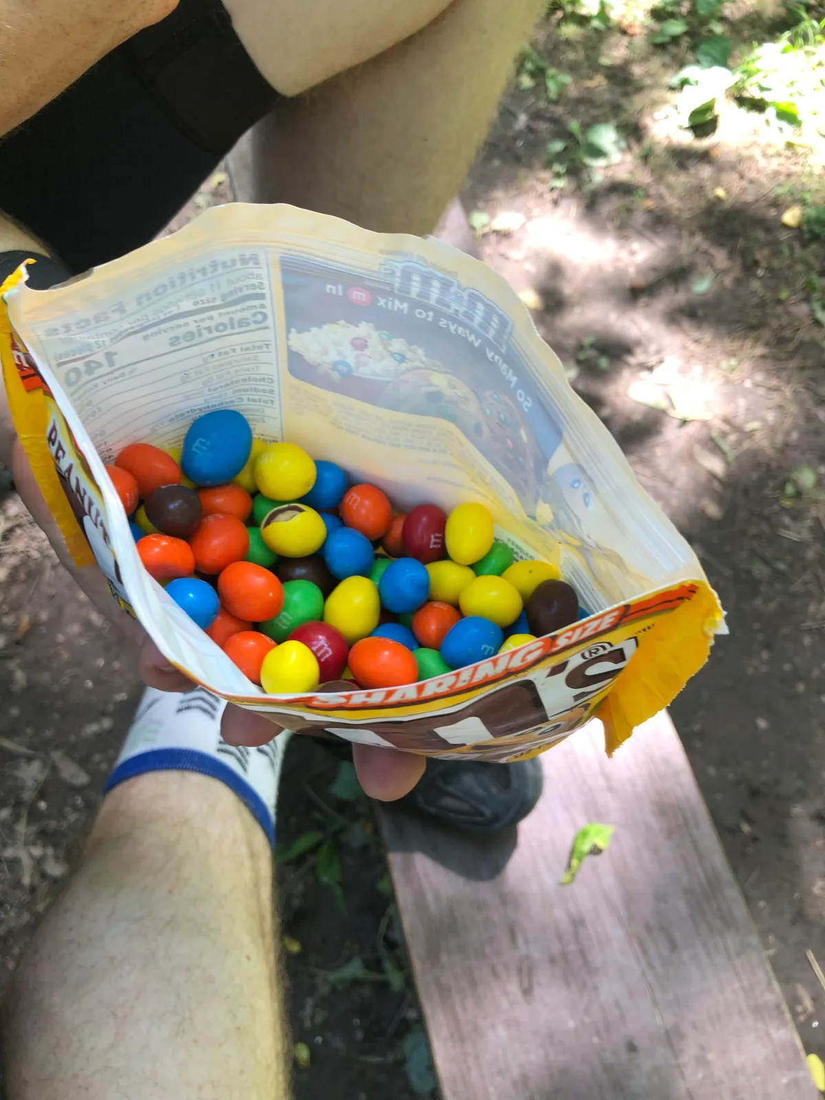
Throughout the day and in between meals, it's important to maintain calories. You can use different snacks like granola bars, but my go-to for exercise is GU CHEWS. Easily digestible carbohydrates, dense calories, and key nutrients like electrolytes and amino acids make it a perfect choice for me. Oh and if you know me, an adventure isn't complete without Peanut M&M's.
Lunch/dinner
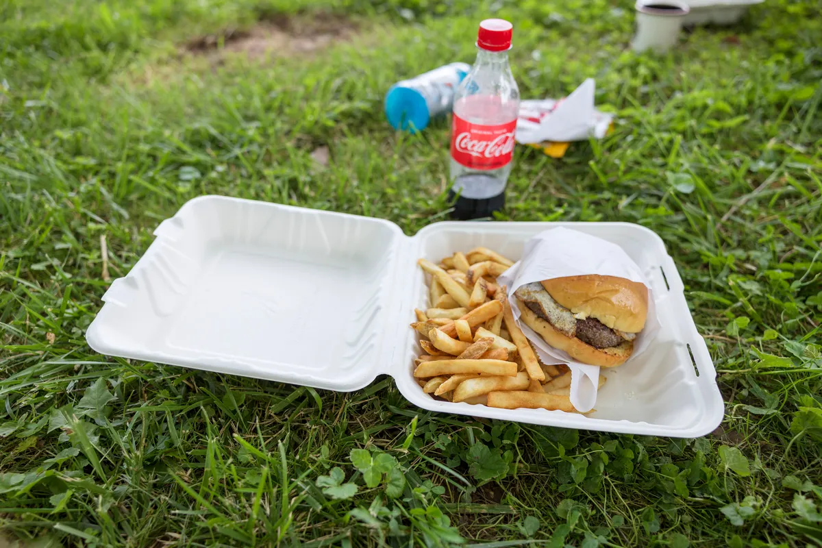
For the main meals, lunch and dinner, we would stop in the towns along the way and grab something. This allowed us to have larger meals without worrying about carrying the extra weight / supplies to cook with.
Back on the trail
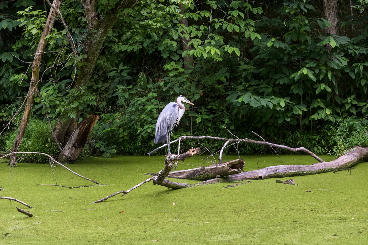
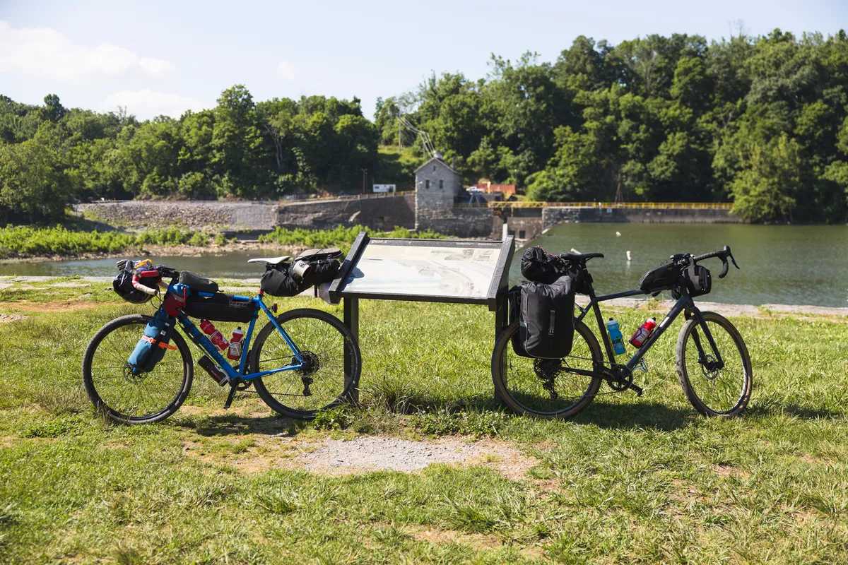
Wildlife along the trailThere were various signs along the trail providing history about the canal and the lock system. A nice way to break up the ride!
Some sections required dismount to get over obstacles
And some sections had detours to get around damaged sections of the trail
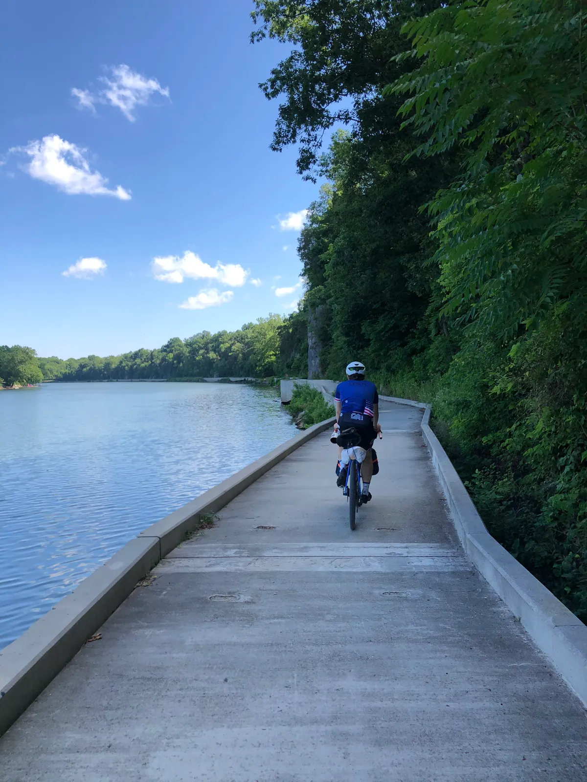
But most of the trail was breathtaking.
Next stop: camp
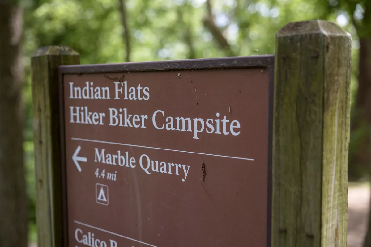
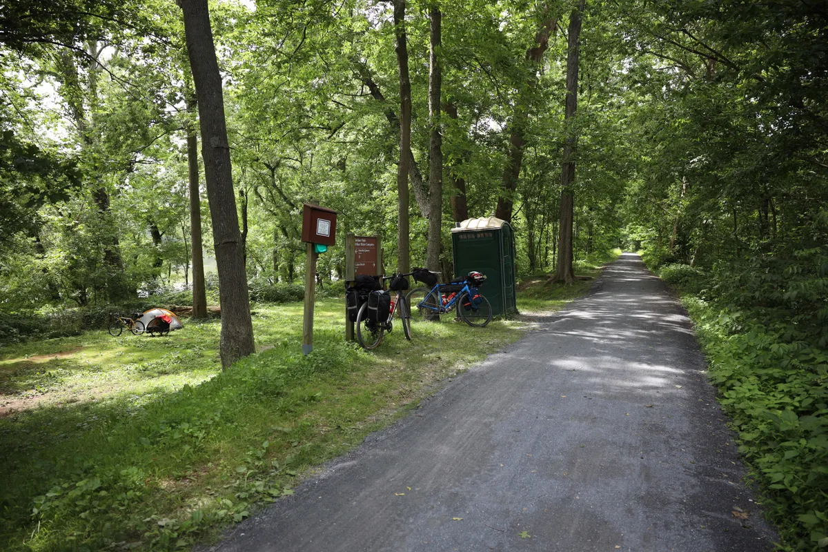
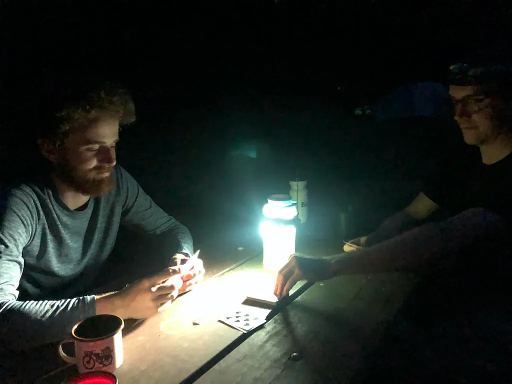
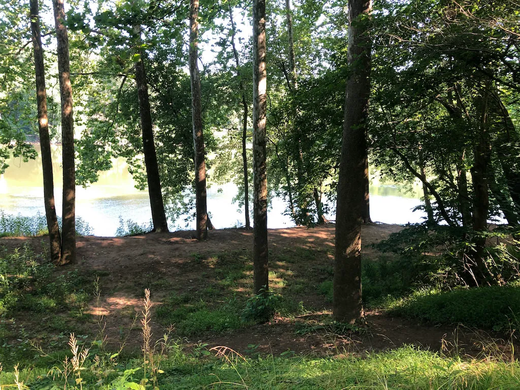
I was amazed at the availability and accessibility of campsites along the C&O. Roughly every 10 miles there were hiker/biker campsites... So what did these look like?The sites were right off the trail and consisted of basic amenities (porta-potty, picnic tables, water).Typical camp setupIncluding card games into the nightAnd most of the sites were right next to the water
The final stretch of the C&O
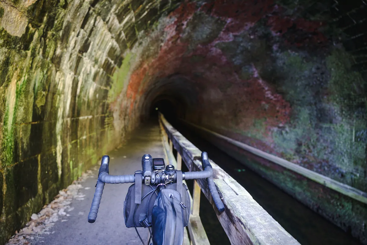
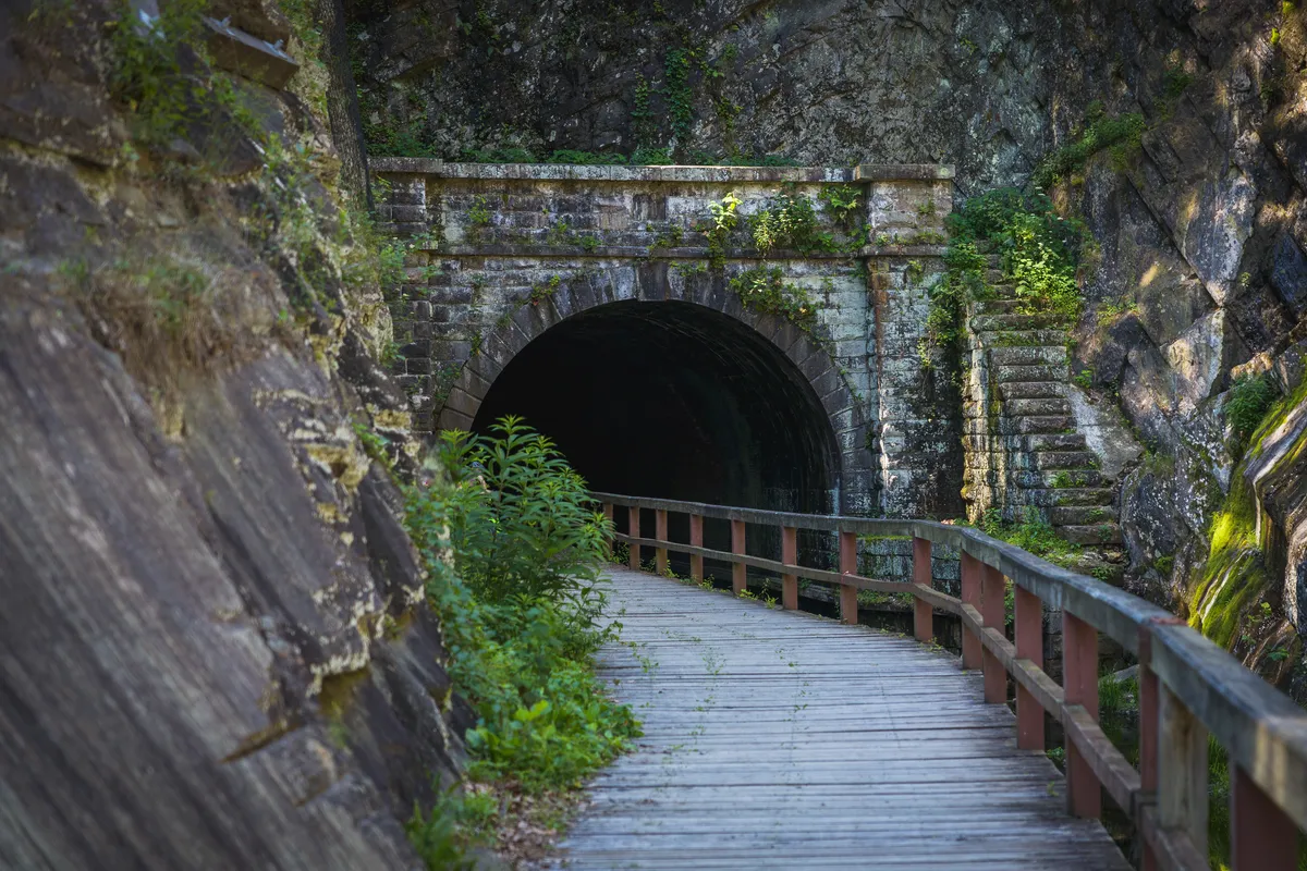
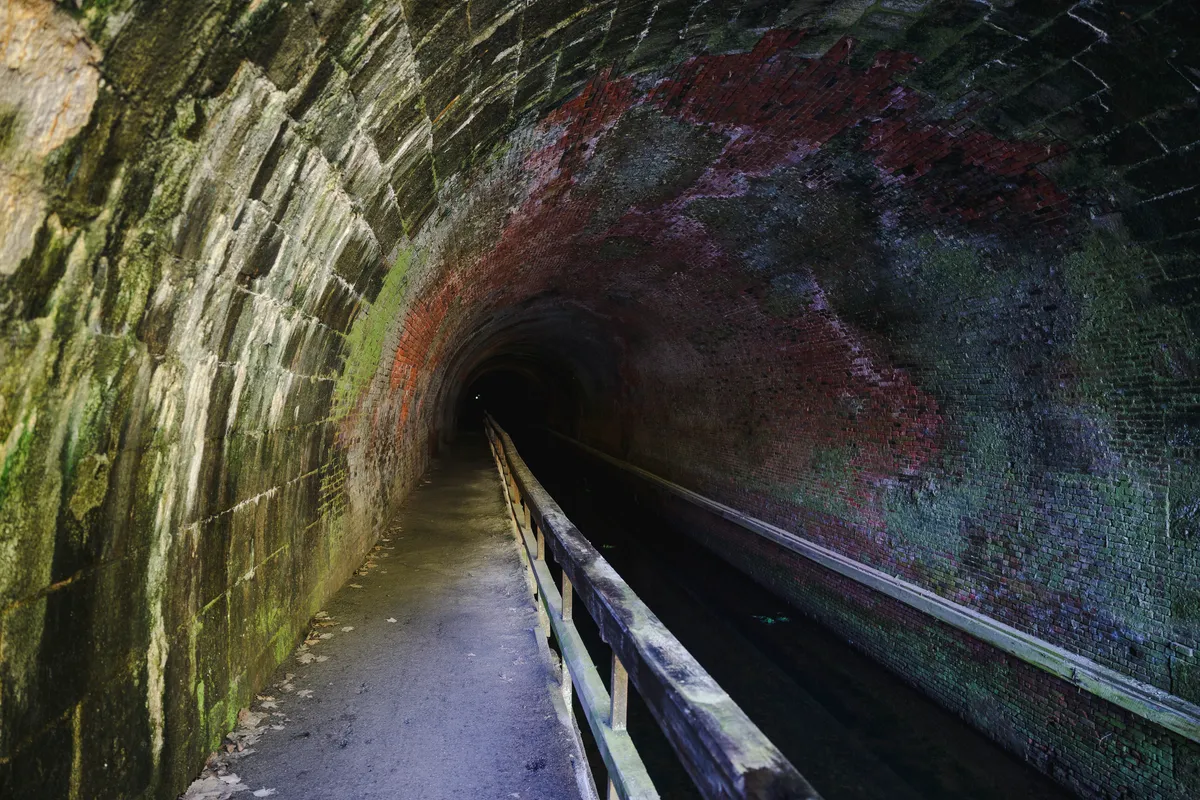
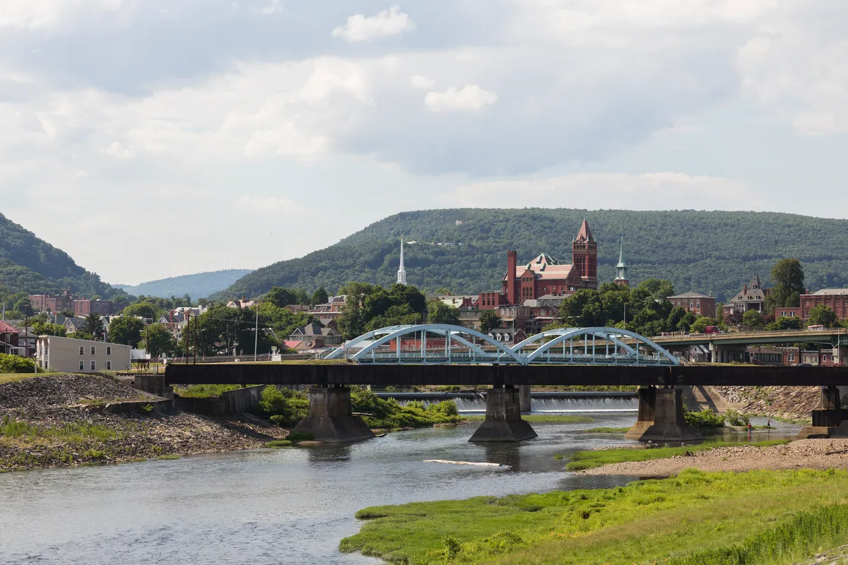
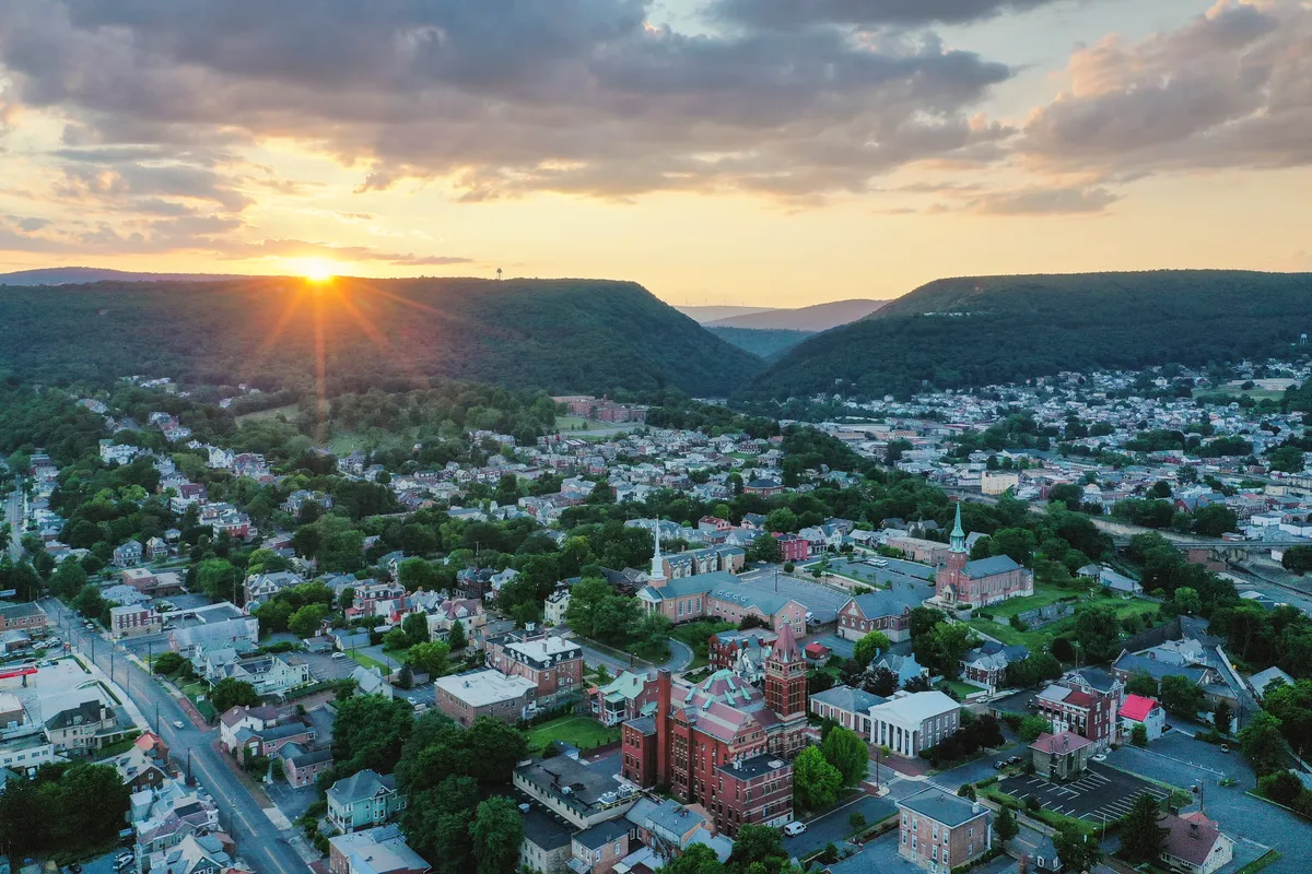
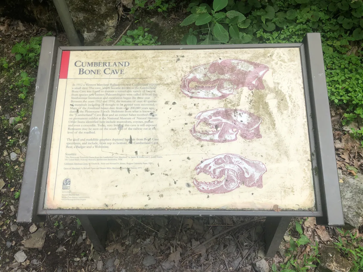
And one of my favorite sights... the Paw Paw tunnel.This is a 3,118-foot-long canal tunnel on the trail. You have to walk through the tunnel as it has no lights, but it was a nice stroll and time to enjoy the tunnel. Look at those colors!A few more canal housesWe had a small final push into Cumberland. This marked the end of the C&O and our "halfway" point on the trip.The Cumberland Gap
The start of the GAP
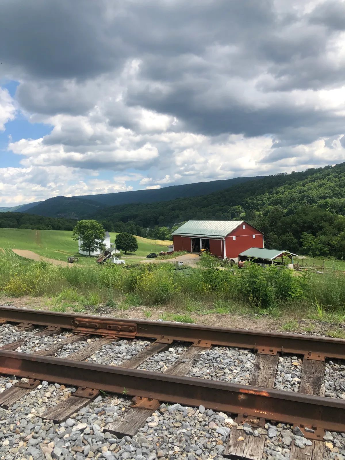
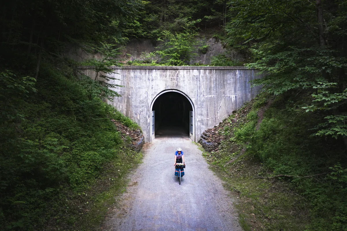
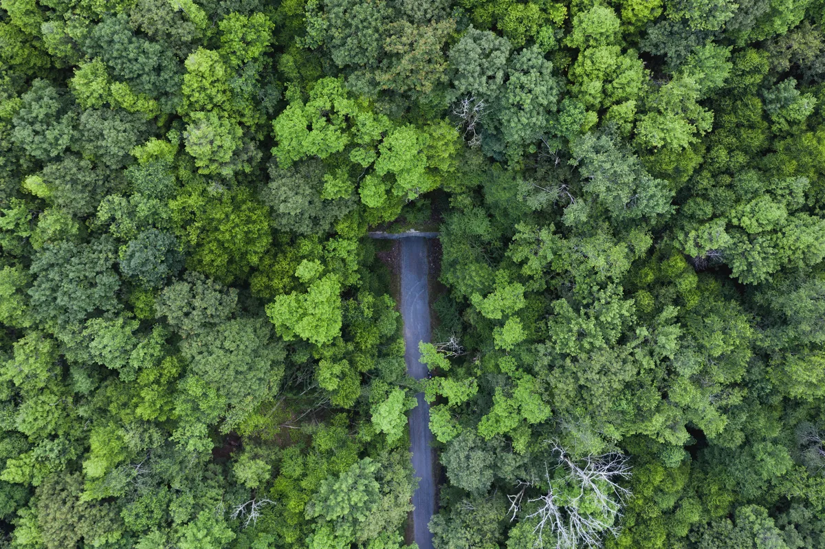
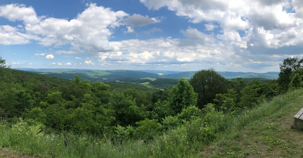
With almost 2000ft of elevation gain in under 23 miles, the start out of Cumberland was the most "challenging" part of the ride in terms of climbing.The trail follows tracks all the way up as there is a passenger train that brings people to the top for the beautiful views.However, for me, cycling provides the ability to stop, explore, and enjoy the views as you go.We continued to ride through tunnels (these were illuminated) which were a nice break from the heat with the cool concrete interiors.Seeing them from above with a Drone really provides a different perspective and just as beautiful.The constant low grade and scenic views ALMOST made the pain of the "big climb" go away.
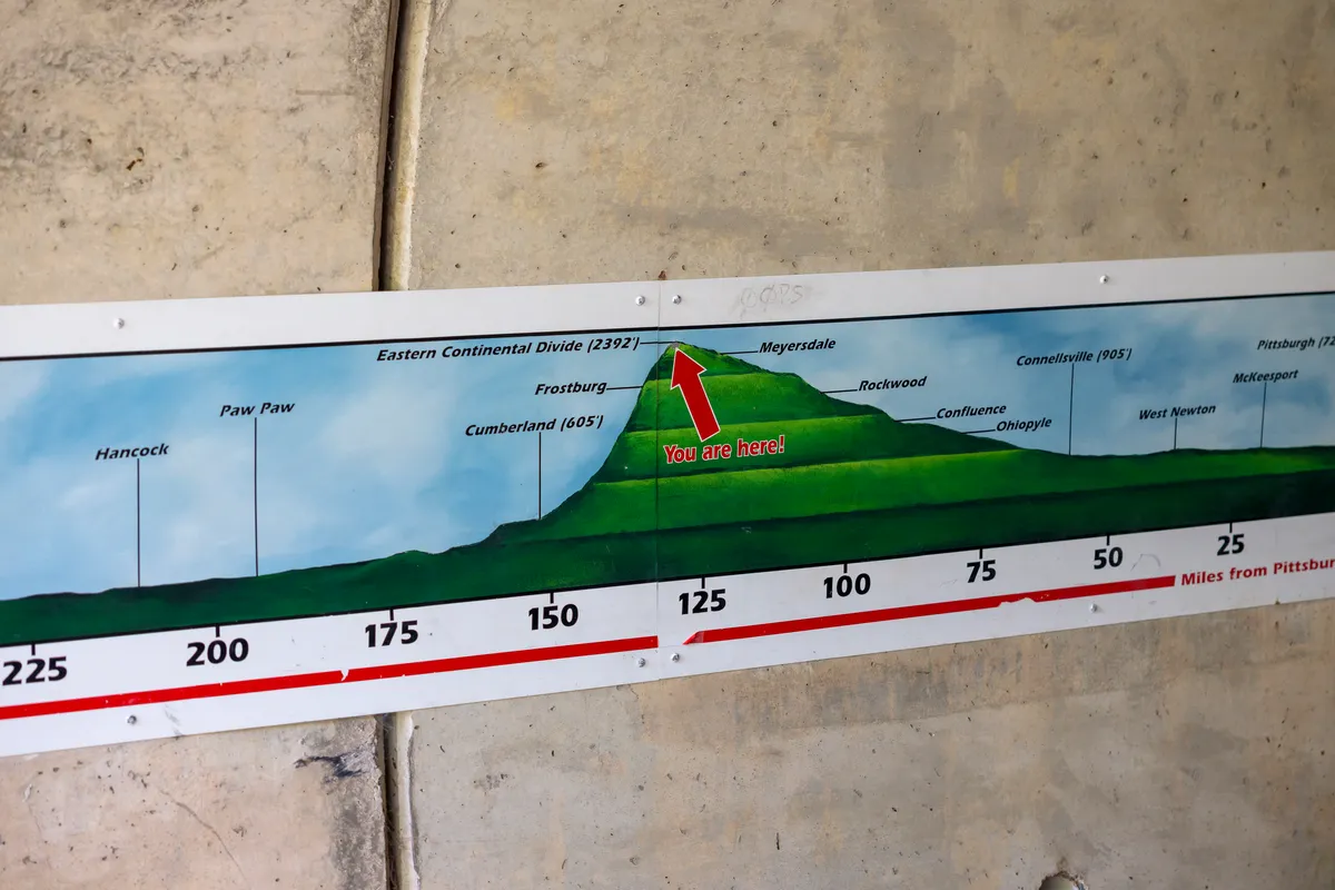
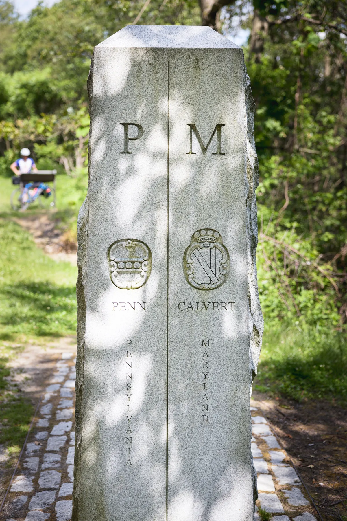
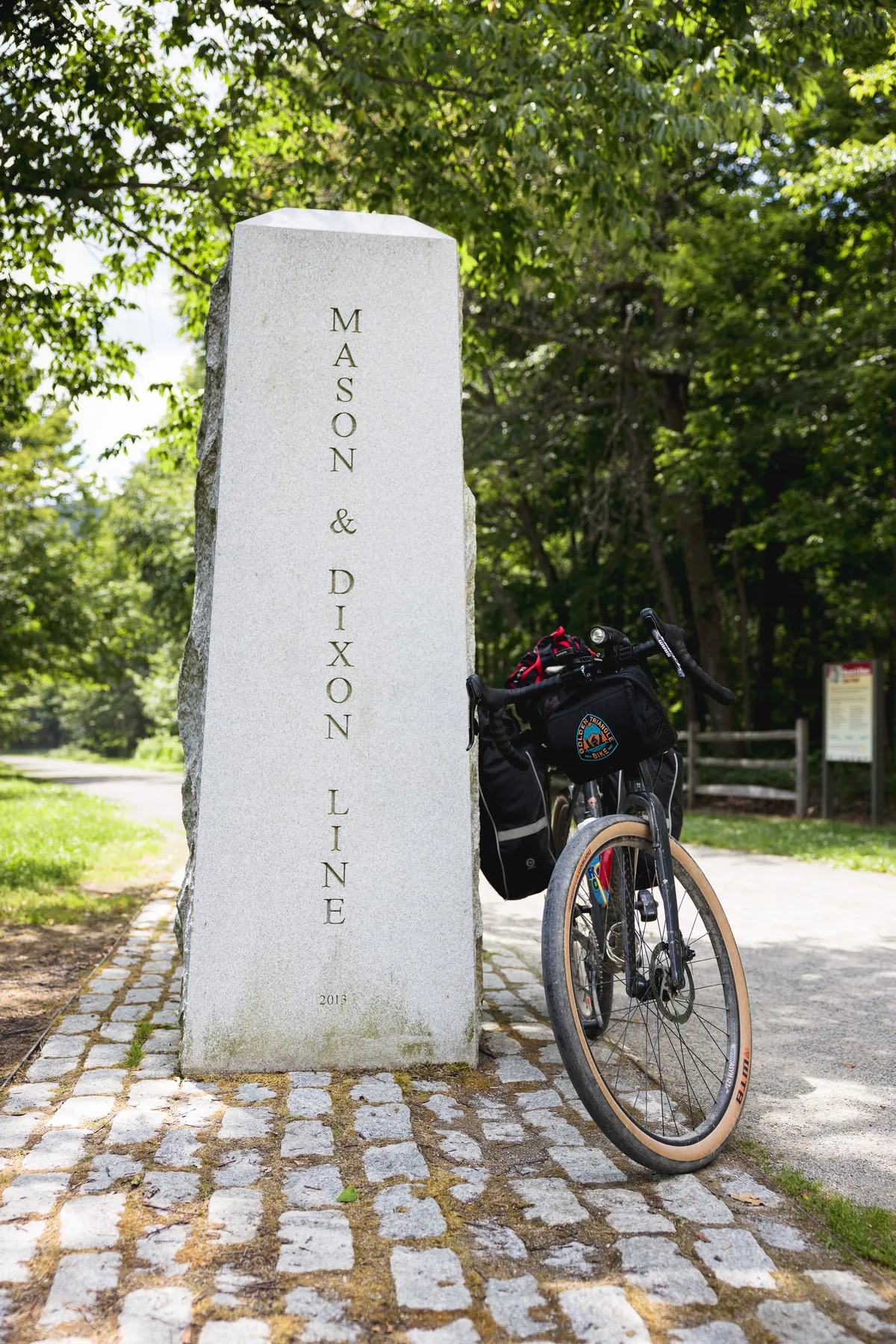
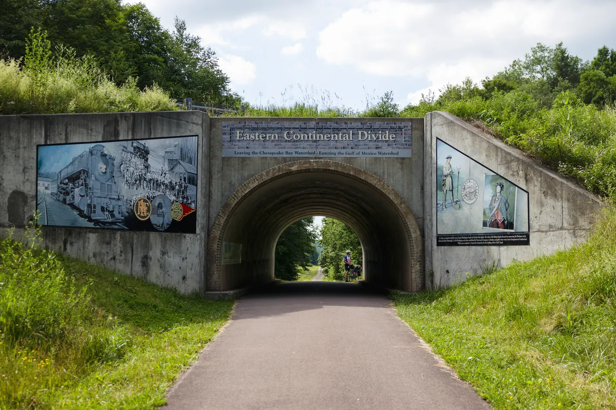
As we reached the summit of the climb we came to a great spot to break and check out a historical site. Not only were we crossing from MD into PA, but it was also the Mason & Dixon lineNot far after, you come to the Eastern Continental Divide.
Camping on the GAP
After the long climb, we decided to have a short day (mileage) and relax. Meyersdale was the closest town we decided to stop at.
One thing I noticed on the GAP vs the C&O was the accessibility of campsites within towns. This provided a nice change of pace where we could settle into camp before heading to dinner. On the C&O we would hit a town for dinner, then still have ~5 miles to cycle to camp.
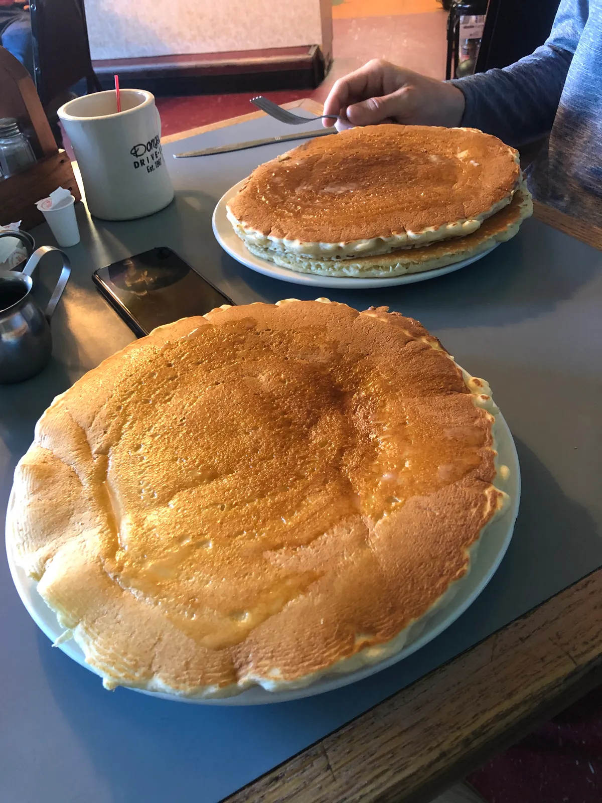
Highly recommend Donges Drive In if you like diners. Dinner and breakfast there sure hit the spot! For those who know me, you bet I went with pancakes for dinner!
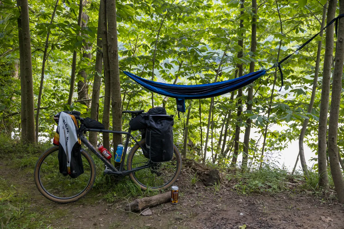
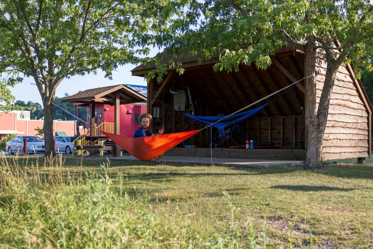
The campsite was mostly grass for tents, but still had spots to hang hammocks!
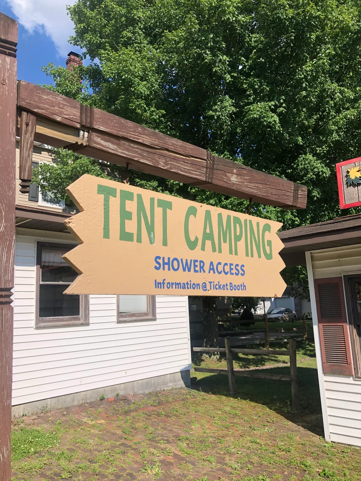
Oh, and did I mention SHOWERS!
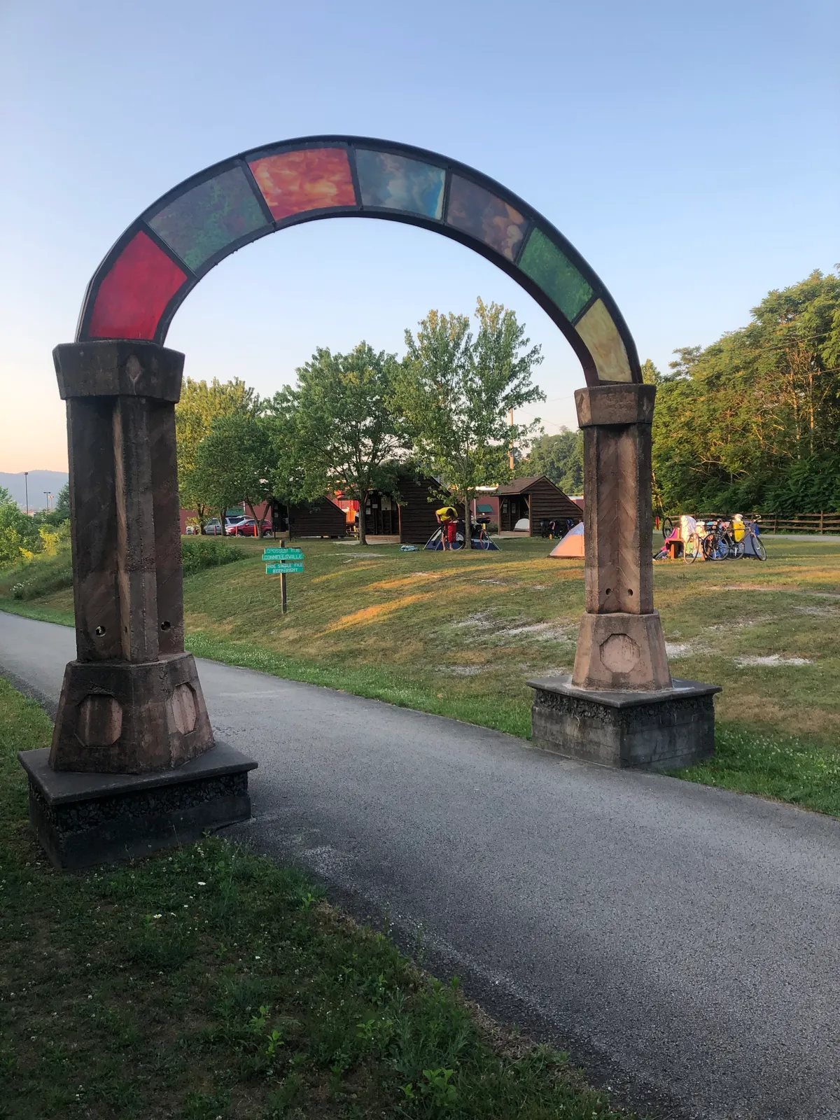
Another example of a campsite in town, right off the trail. This was Stewart's Crossing Campground & Adirondack Shelters in Connellsville. Overall these are great options as they are still right on the trail and close to town for supplies.
Personally, I liked the more rustic campsites as I love to camp. The great thing with the C&O and GAP is they have a variety of options from AirBnB's/Hotels, camps in town, or rustic camps.
Keep on pedaling
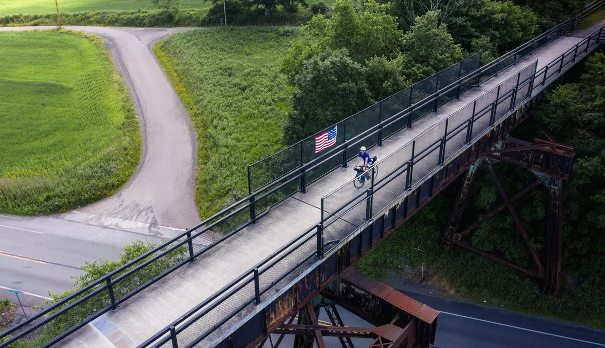
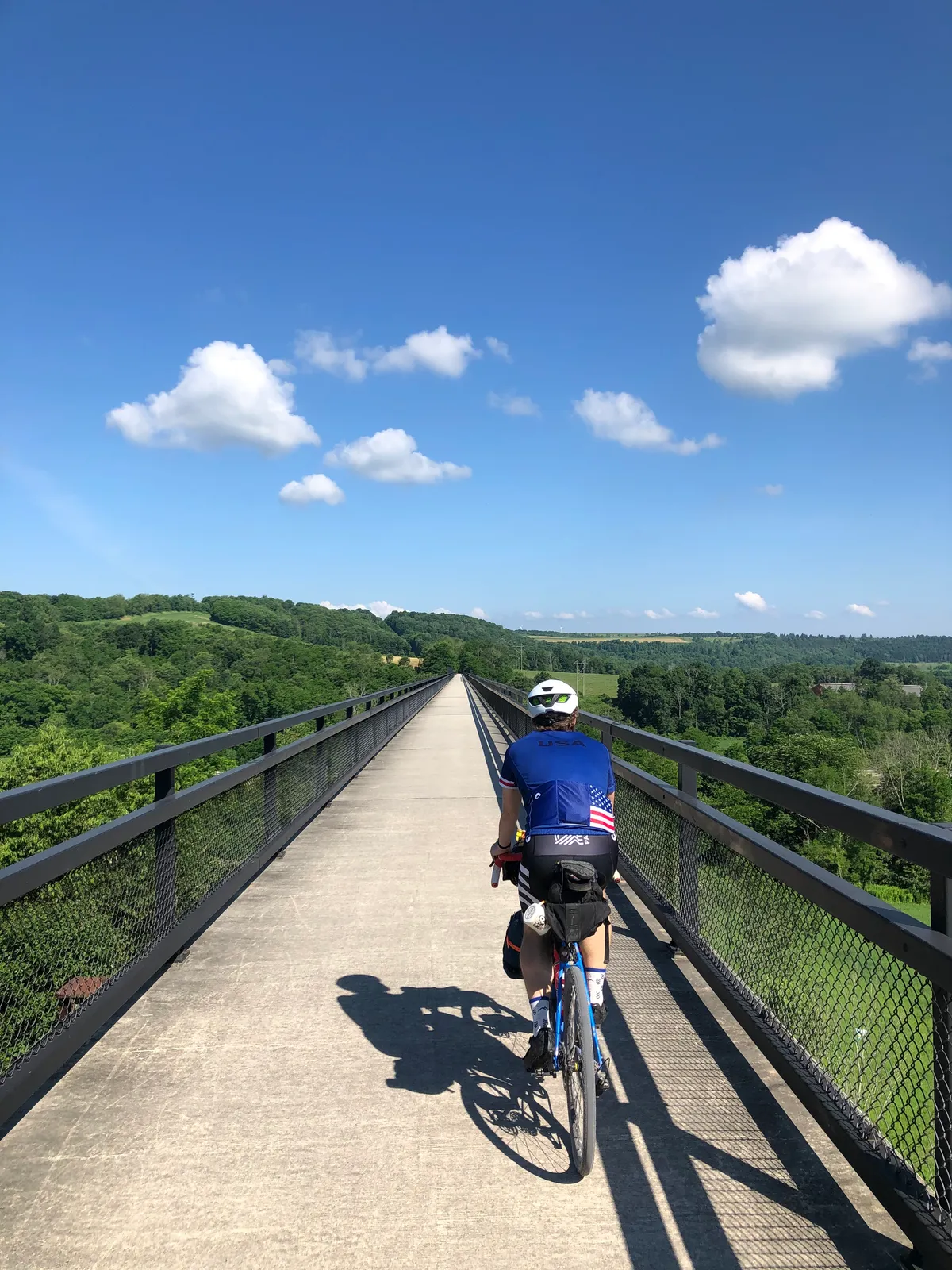
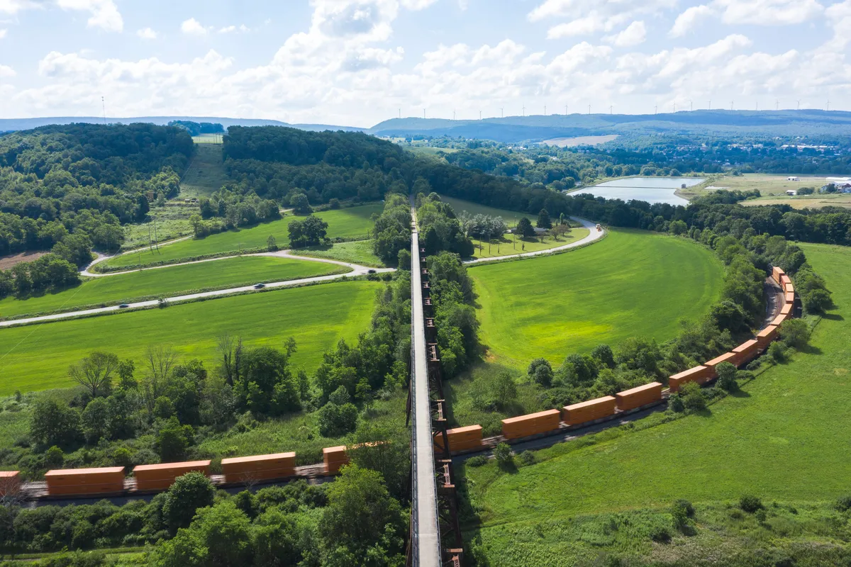
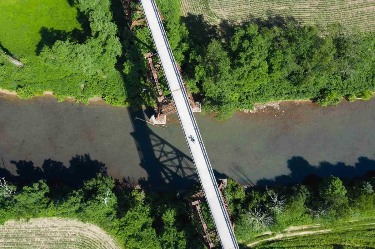
As we headed out of Meyersdale, we came across the Salisbury Viaduct. This was stunning to see in person. A 1,908 foot long bridge spanning over land, highways, and a river. Normal cameras don't capture the magnitude of size.So let's take it to the sky (this is a view of half of the viaduct)!I spy Dan, do you?
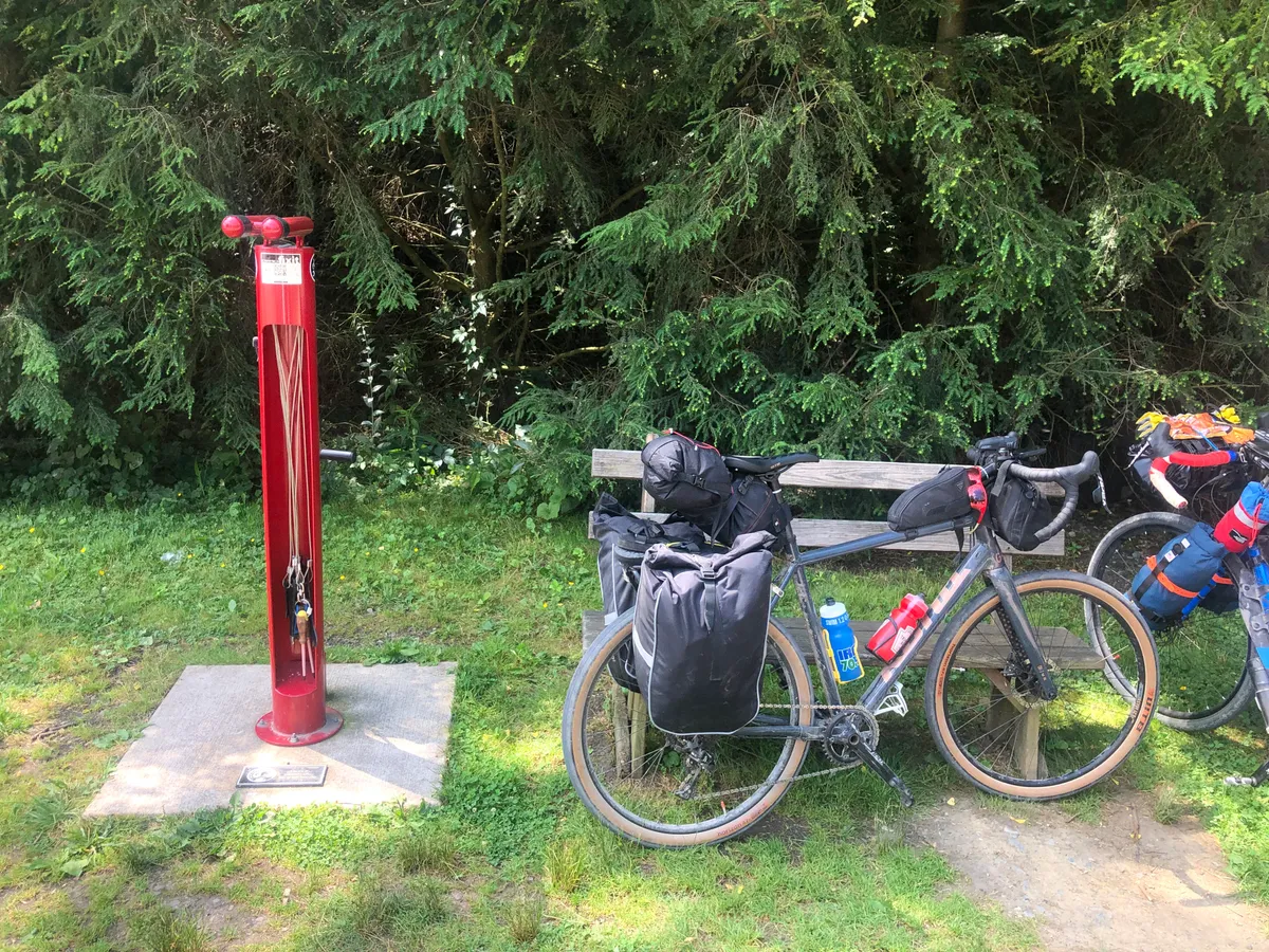
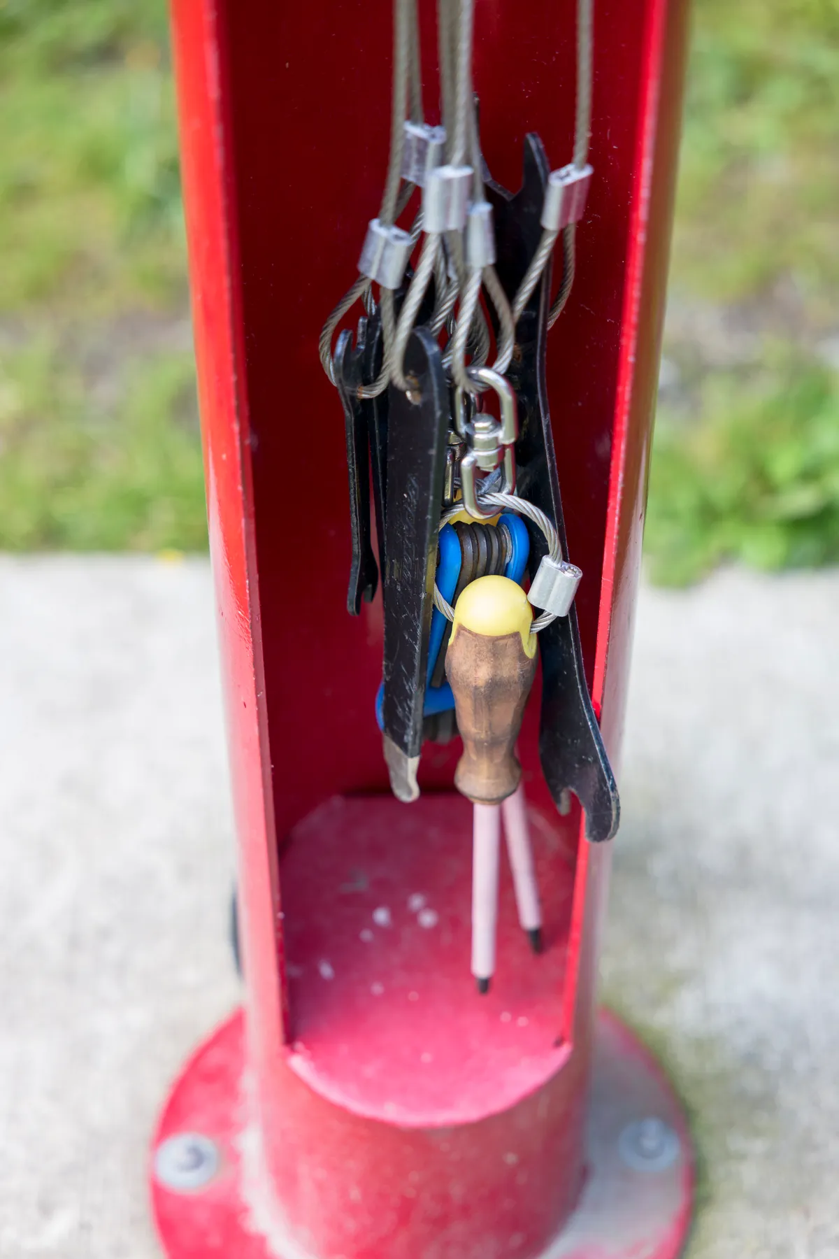
What happens if you have bike issues or need info on the GAP?
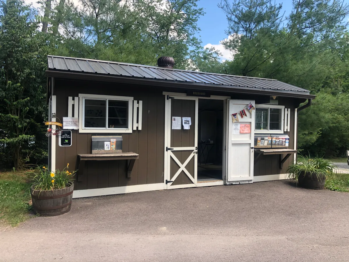
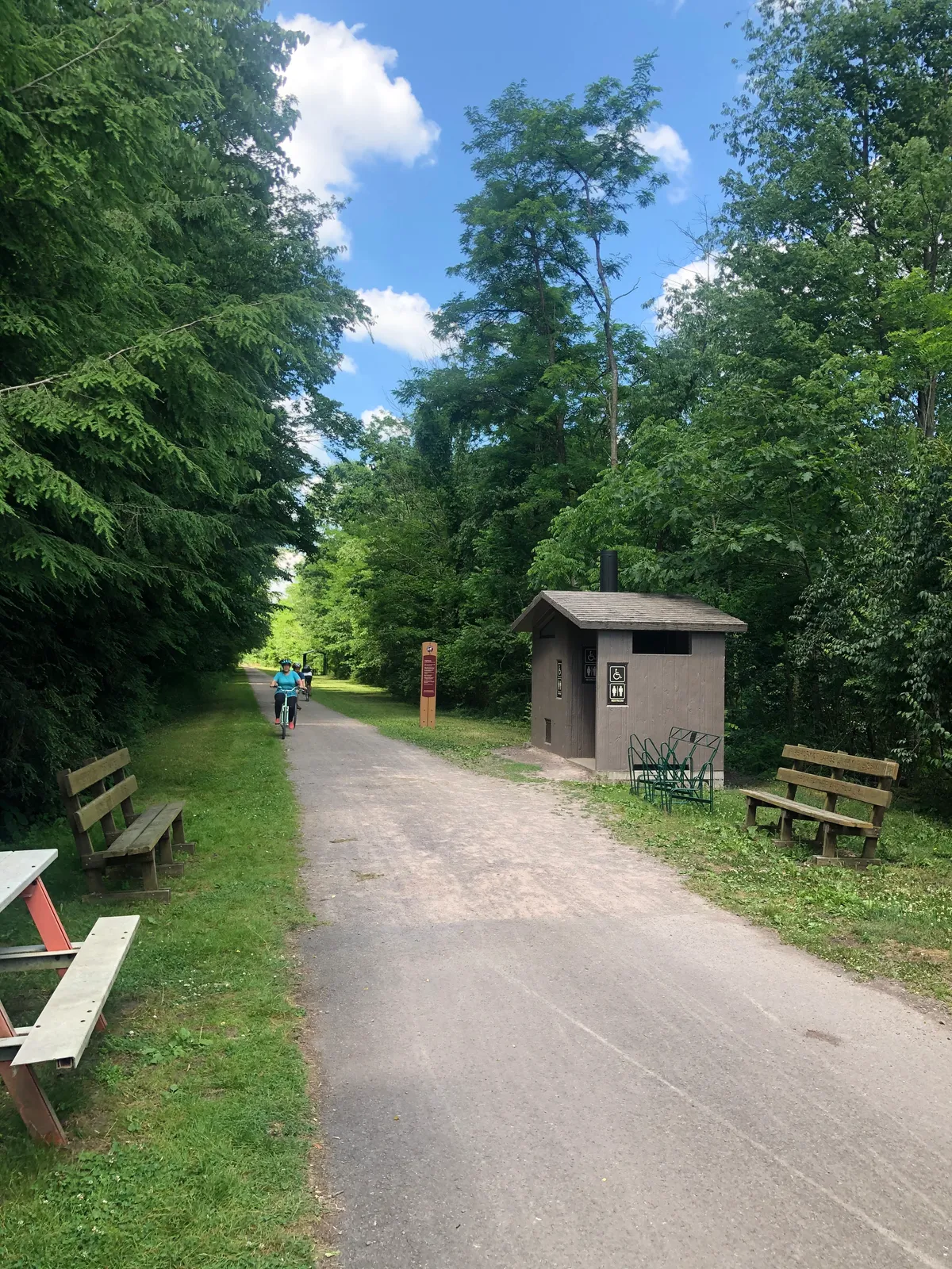
It was common to see these info centers on the GAP providing information on the trail and surrounding areas.Including restrooms
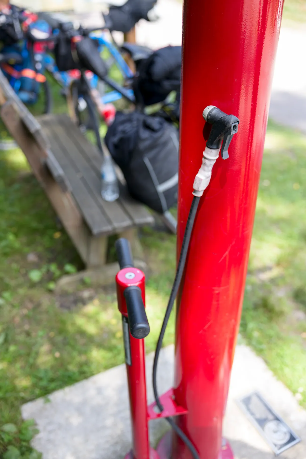
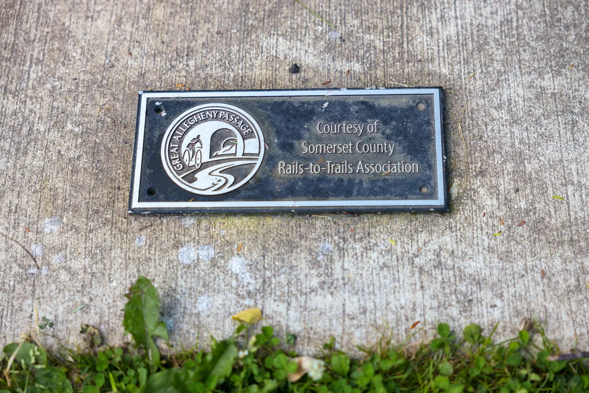
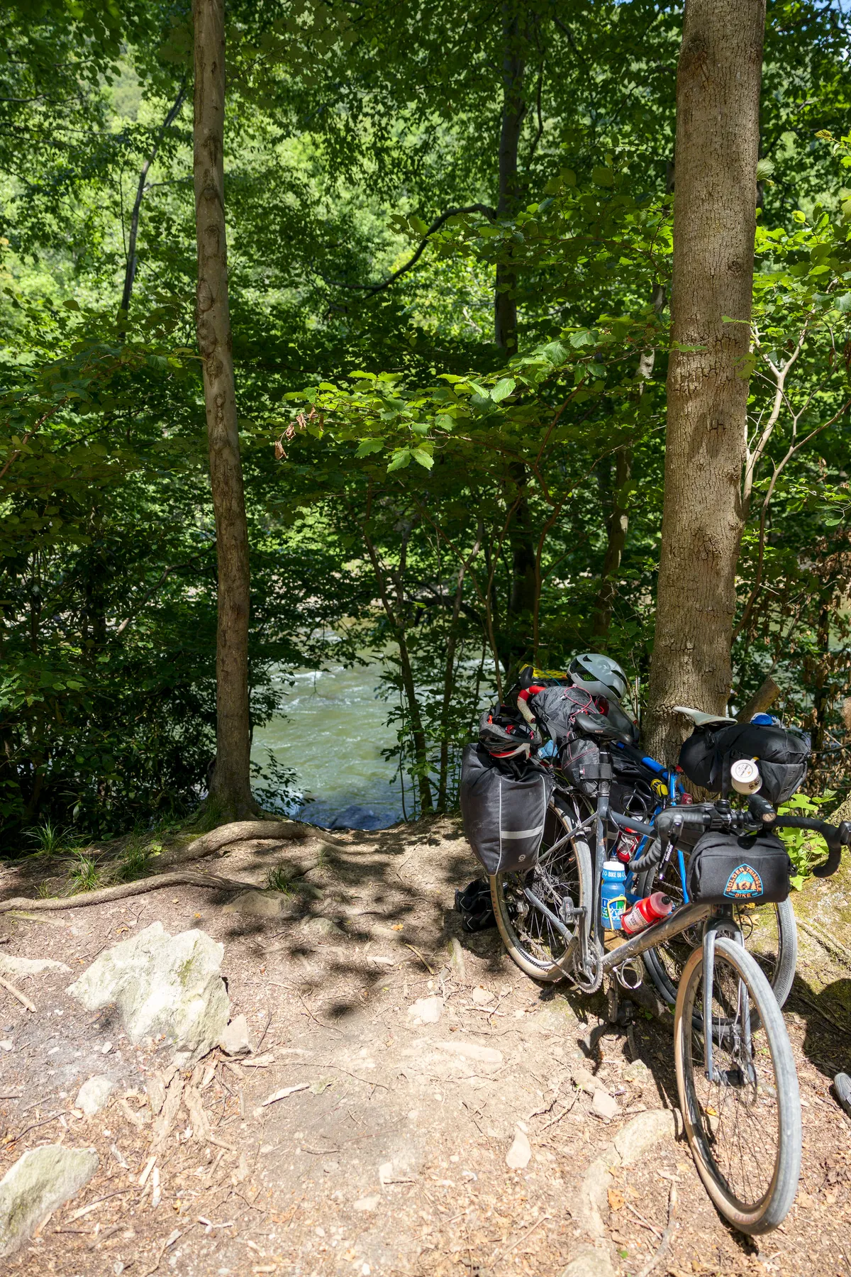
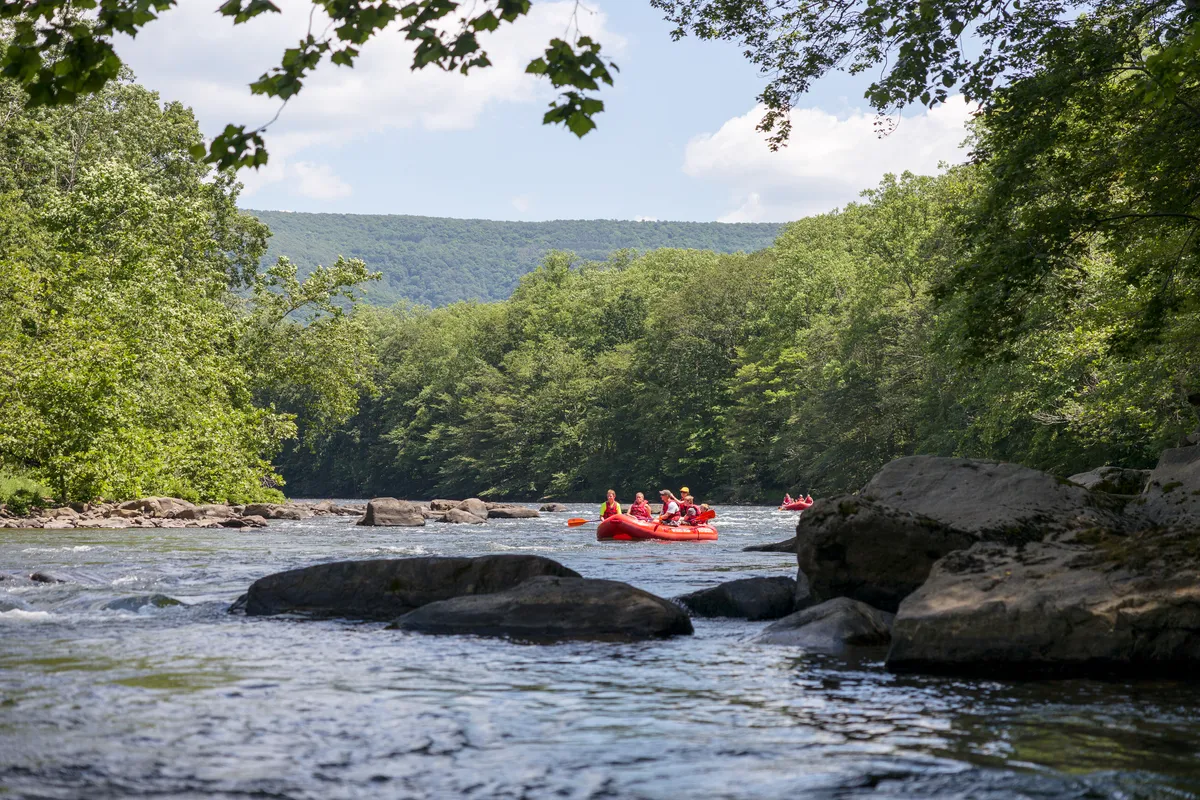
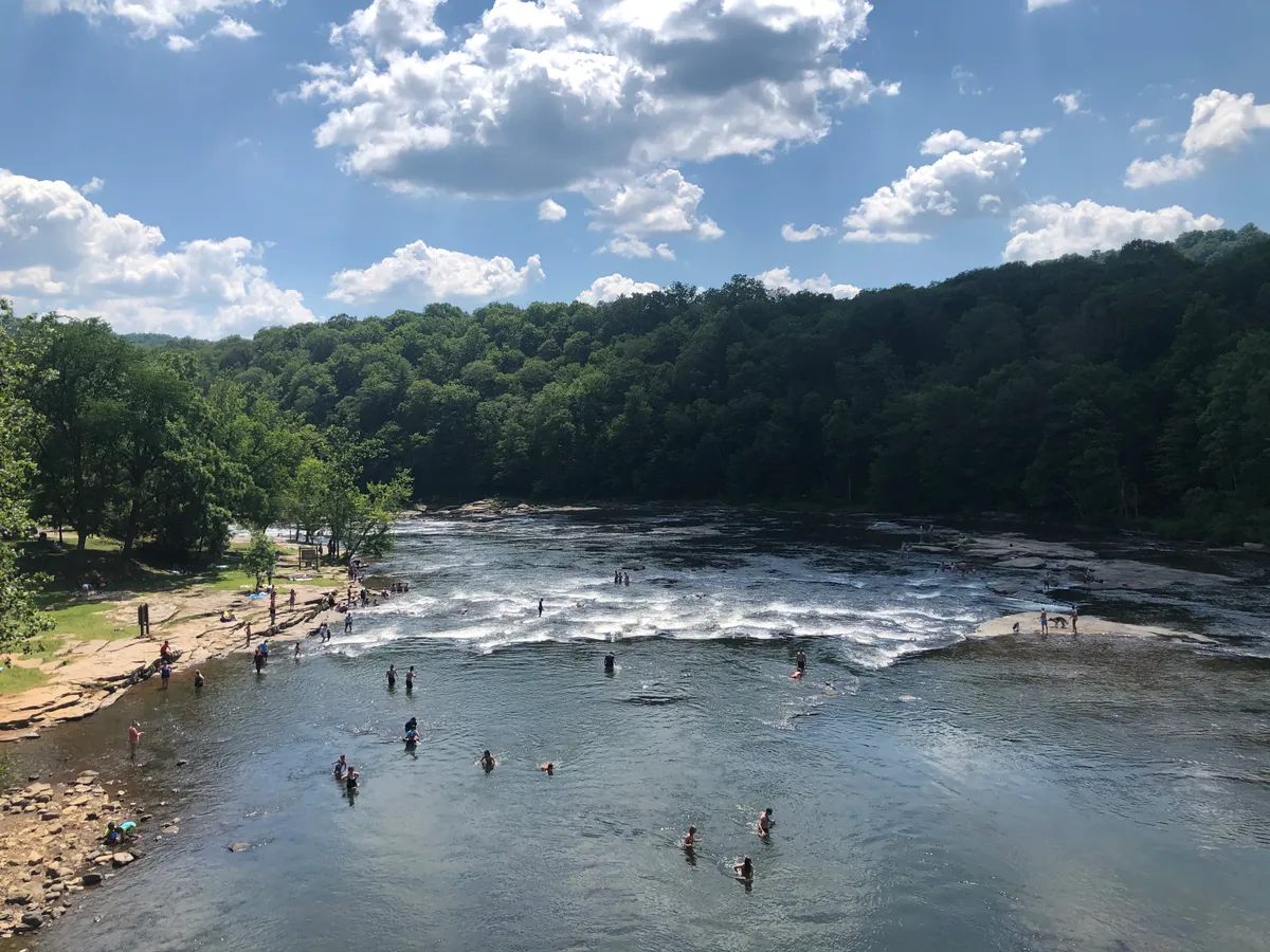
And bike repair stationsThe next part of the journey brought us through the Ohiopyle State Park. I loved the change in scenery as we were now going through a much more wooded area compared to other parts of the trail.The trail follows the Youghiogheny river as it winds through the park. This is a popular river for kayaking and white water rafting. It was fun watching the kayakers and rafts in the river as we cycled. We decided it would be a nice place to stop as there were different trails leading to the water.It was relaxing to dip our feet in the water and watch the excitement of the groups on the river.The next town we came to was Ohiopyle. This town had a great feel as a small little mountain town with hikers, rafting, cycling, and other outdoor activities. Definitely a town I am looking to go back and visit.
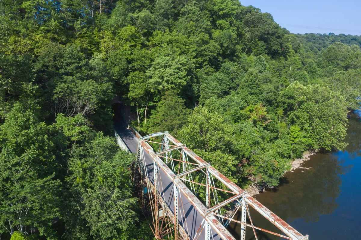
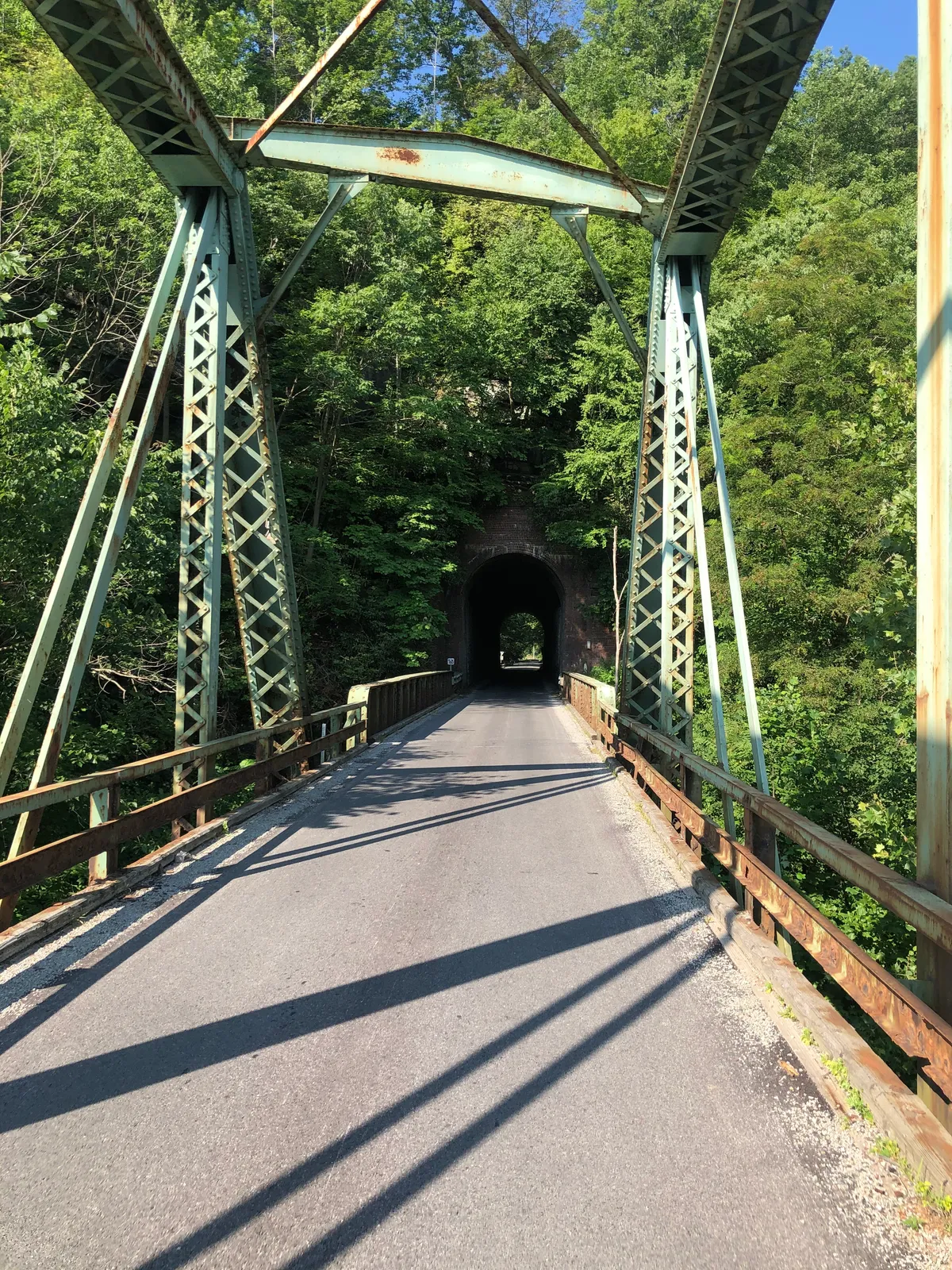
We continued to explore some more bridges and tunnels including the Layton Bridge. This one was unique as it was a tunnel that led directly into a bridge.
The final push
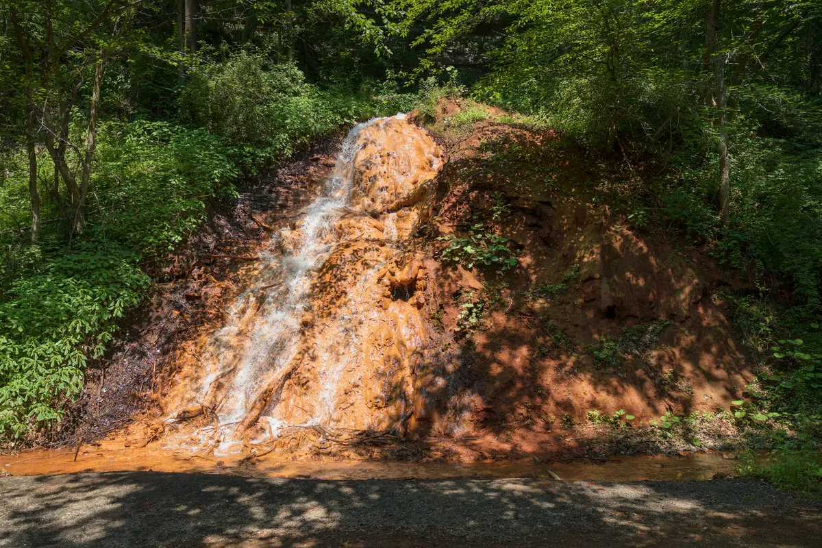
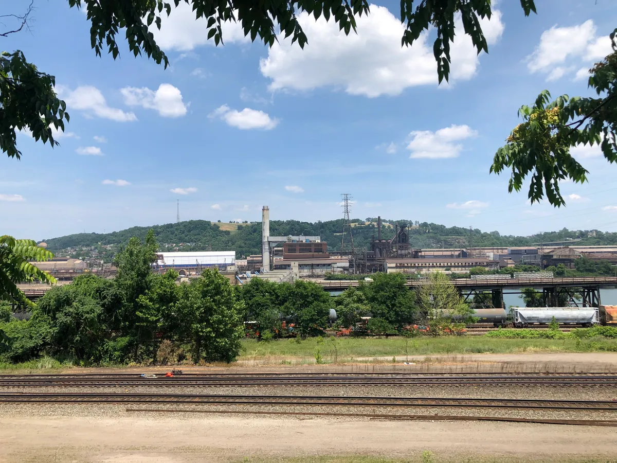
Orange waterfalls? That's something I haven't seen before! The reason behind this is the acid and iron-rich water is coming up to the surface from underground mines.Can't visit Pittsburgh and not appreciate the history of the steel industry!
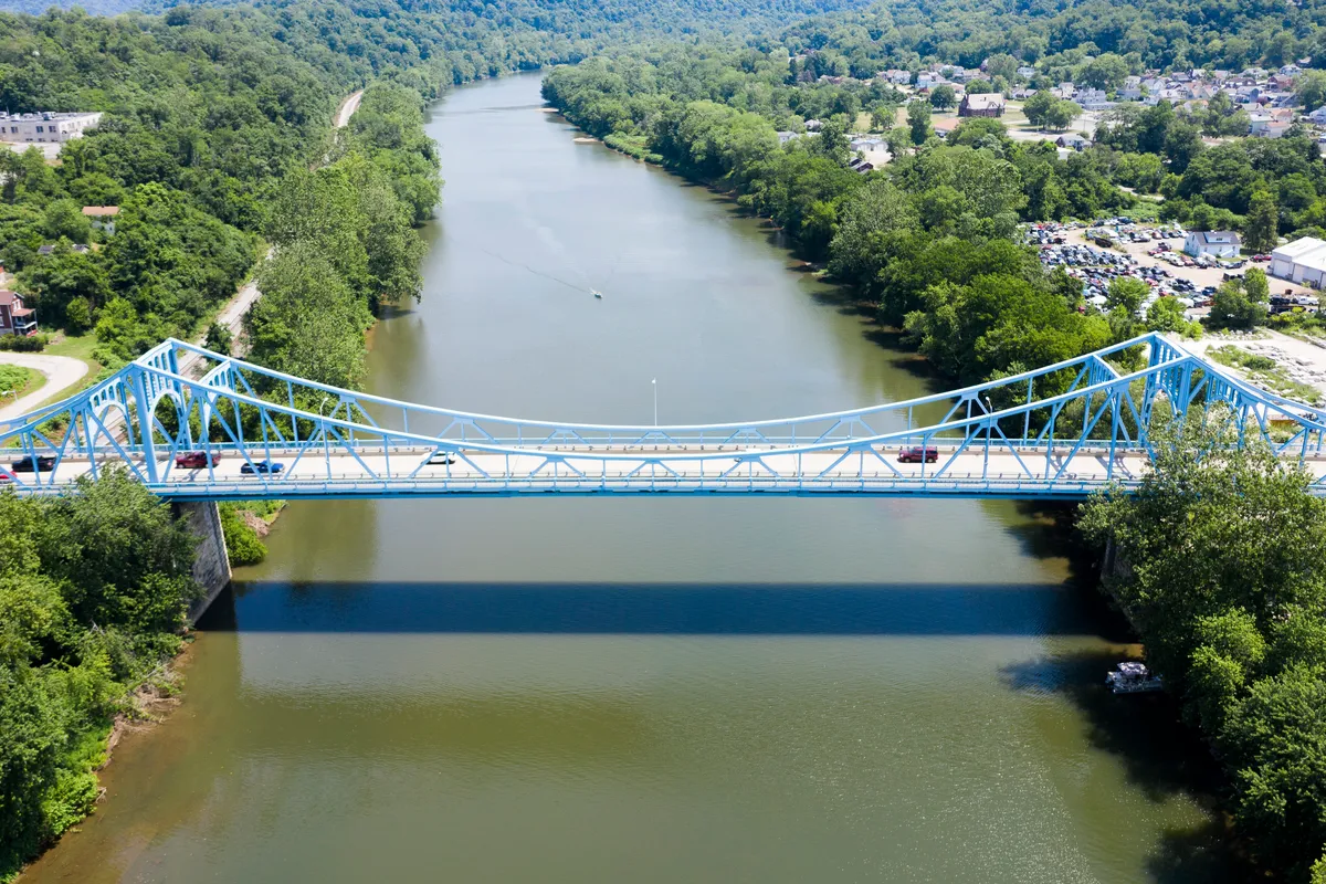
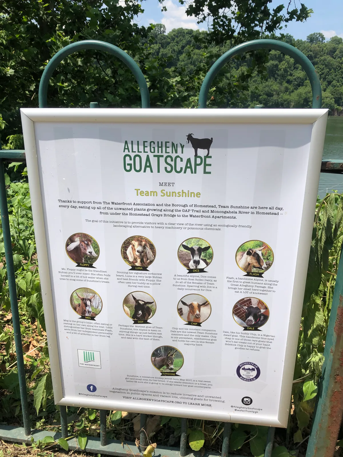
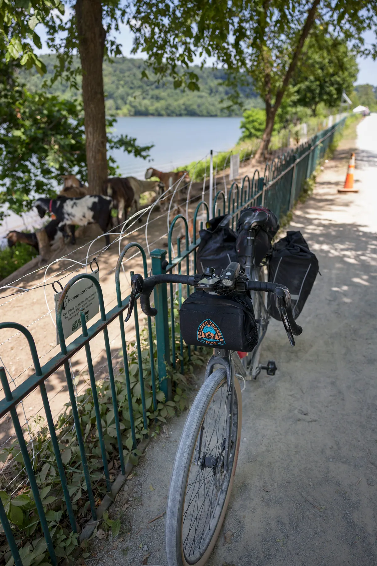
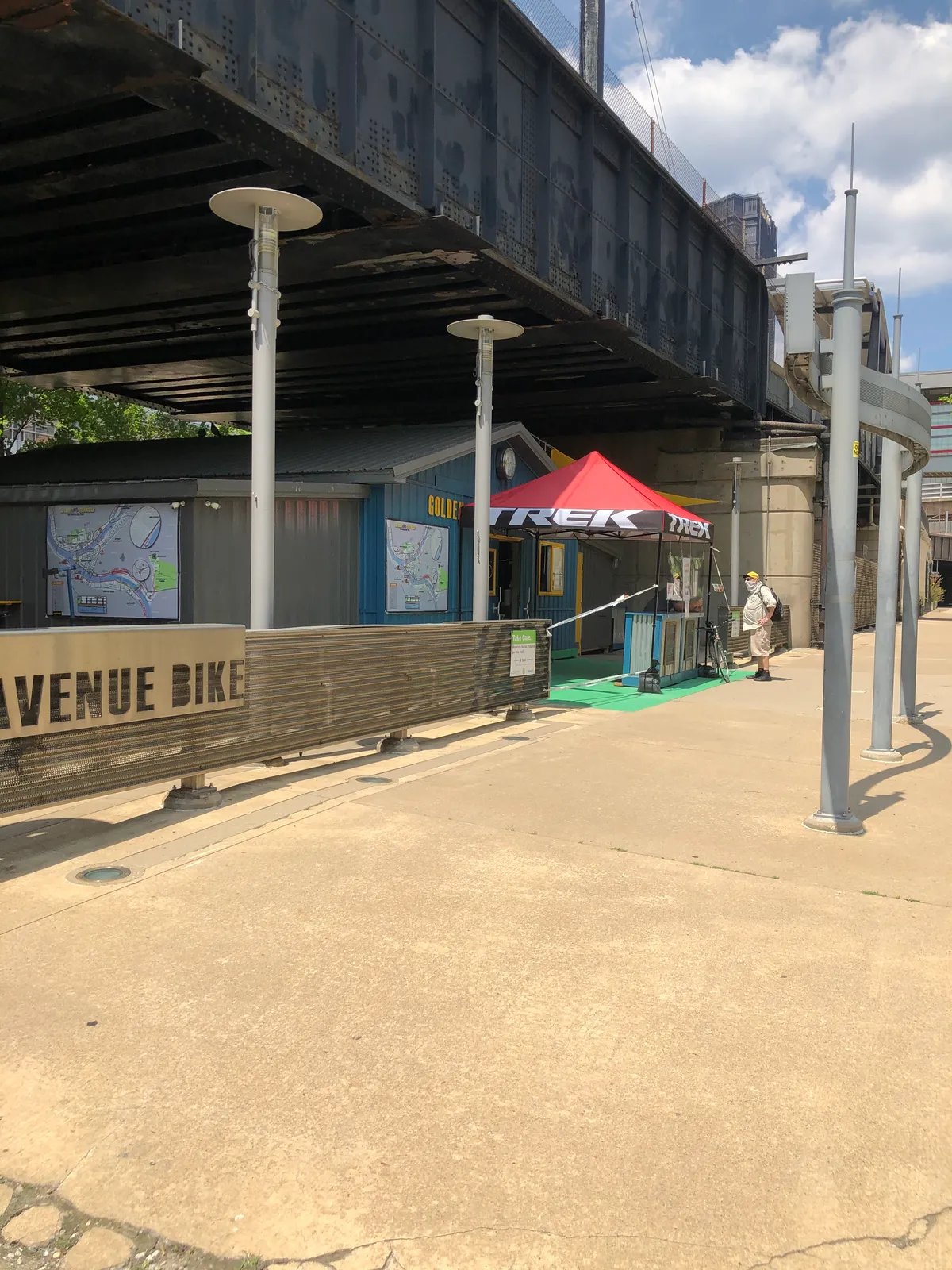
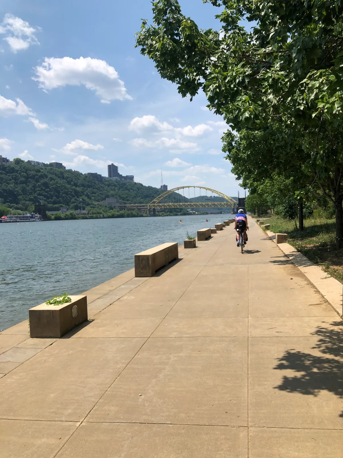
Did you know the city use goats to maintain some of the hills on the waterway right outside of downtown?Waving to the Golden Triangle Bike team as we pass in the last few miles of the trail. How convenient is their location!The last 30 miles of the trail was mostly exposed. Although beautiful along the Monongahela river, it sure was a hot end as the temps were in the mid to high 90's!
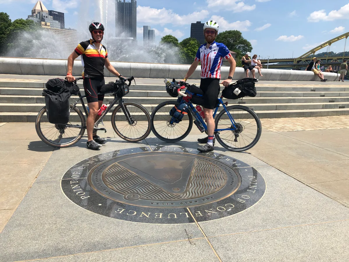
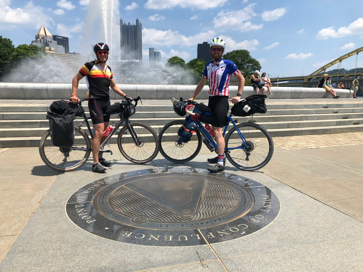
Celebrating the end of the journey at the Point State Park Fountain!